


5,5 km | 10,3 km-effort

Les Hautes Alpes à découvrir ! GUIDE+


Gratisgps-wandelapplicatie
 SityTrail
IGN / Geografische instituten
SityTrail World
De wereld gaat voor u open
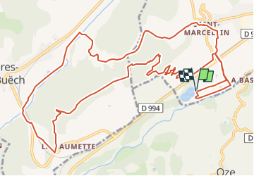
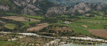
Tocht Mountainbike van 16,7 km beschikbaar op Provence-Alpes-Côte d'Azur, Hautes-Alpes, Veynes. Deze tocht wordt voorgesteld door Camping Les Rives du Lac.
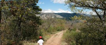
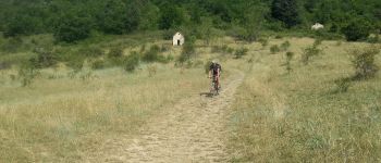
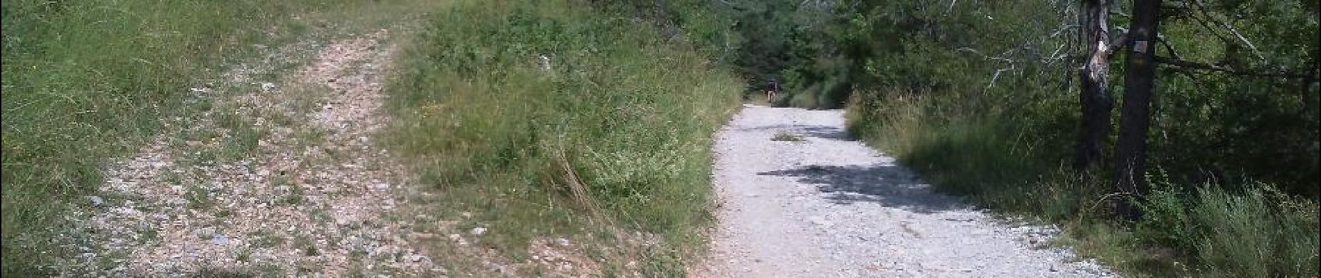
Voor een eerste kennismaking met een bike trail, die kenners 'single track' of 'single' noemen, in tegenstelling tot de bredere bospaden. Het onderdeel "single" zit in de de afdaling en maakt het dus mogelijk om te leren je fiets nauwkeurig te besturen, zonder gevaar dat je het pad niet ziet.


Stappen

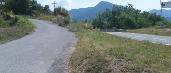
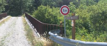
Mountainbike

Mountainbike

Mountainbike

Mountainbike

Stappen

Stappen

Stappen

Stappen
Bien