


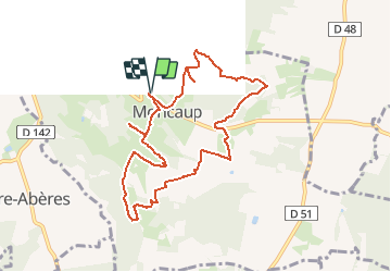

7 km | 8,8 km-effort


Gebruiker GUIDE


Gratisgps-wandelapplicatie
 SityTrail
IGN / Geografische instituten
SityTrail World
De wereld gaat voor u open
Tocht Stappen van 9,7 km beschikbaar op Nieuw-Aquitanië, Pyrénées-Atlantiques, Moncaup. Deze tocht wordt voorgesteld door marmotte65.
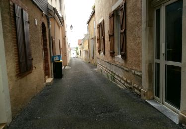
au départ de la mairie de Moncaup à gauche et à la fourche suivante à droite.
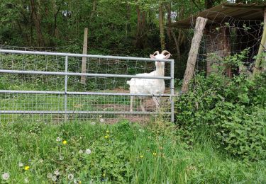
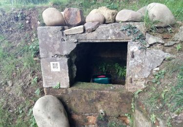
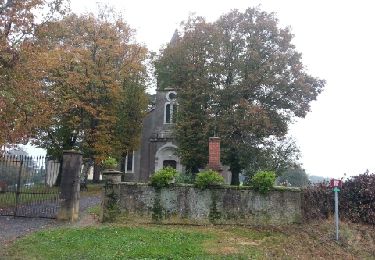
Superbe balade qui vous fera découvrir 8 fontaines qui date de 1833. je ne vous en dis pas plus allez voir.........
Stappen
Stappen
Stappen
Stappen
Stappen

Te voet
Te voet
Te voet

Stappen
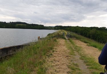
a faire et a refaire sans modération, et dans le sens anti horaire