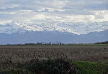
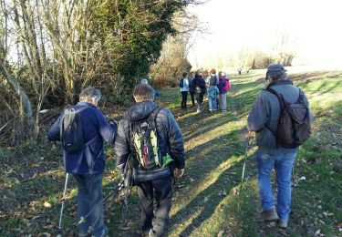
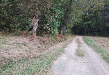
Tocht Noords wandelen Ibos - Bois du commandeur- Géline  - Photo

Bois du commandeur- Géline

 RolandALLAIN
RolandALLAIN

Gebruiker

© OpenStreetMap contributors
Lengte
Lengte
12,3 km
Max. hoogte
Max. hoogte
401 m
Positief hoogteverschil
201 m
Km-Effort
Km-Effort  
15 km
Min. hoogte
Min. hoogte
301 m
Negatief hoogteverschil
201 m
Boucle
Boucle
Ja
Datum van aanmaak :
2019-03-07 16:00:06.566
Laatste wijziging :
2019-03-07 16:00:06.599

(0 Bericht)

Noords wandelen
Noords wandelen
2h15
Moeilijkheid : Onbekend

Scan deze QR-code om de tocht te openen in de SityTrail-applicatie

Gratisgps-wandelapplicatie

Logo SityTrail SityTrail

IGN / Geografische instituten

SityTrail uit de App Store downloaden SityTrail uit Google Play downloaden

Logo SityTrail SityTrail World

De wereld gaat voor u open

SityTrail uit de App Store downloaden SityTrail uit Google Play downloaden SityTrail op Huawei AppGallery downloaden

Over ons

Tocht Noords wandelen van 12,3 km beschikbaar op Occitanië, Hautes-Pyrénées, Ibos. Deze tocht wordt voorgesteld door RolandALLAIN.

Hoogteprofiel

Foto's

POI's

POI Ibos - Point 2 - Photo
RolandALLAIN
IBOS 

Plaatsbepaling

Land:
France
Regio :
Occitanië
Departement/Provincie :
Hautes-Pyrénées
Gemeente :
Ibos
Locatie:
Unknown
Vertrek:(Dec)
Vertrek:(UTM)
743453 ; 4792150 (30T) N.

Opmerkingen

Gelieve in te loggen om een commentaar of een beoordeling achter te laten


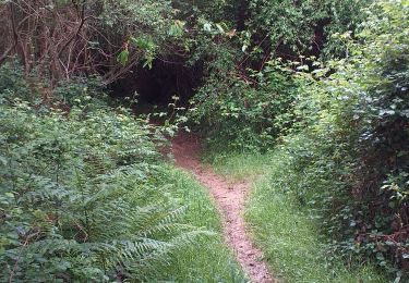
Bien agréable de longer la Géline mais ATTENTION passages généralement humides.


Wandeltochten in de omgeving

Tocht Stappen Ger - Le plateau de Ger en Béarn - Photo
Stappen
tracegps

Stappen

Medium
(2)
Ger, Nieuw-Aquitanië, Pyrénées-Atlantiques, France
23 km | 28 km-effort
6h 30min
Ja
Tocht Stappen Ger - GER MANAS balisage creation   3055925 - Photo
Stappen
GUIDE
marmotte65

Stappen

Gemakkelijk
(1)
Ger, Nieuw-Aquitanië, Pyrénées-Atlantiques, France
2,7 km | 3,1 km-effort
55min
Ja
Tocht Noords wandelen Ger - Mn2 Ger menhir - Photo
Noords wandelen
GUIDE
LouisROGER

Noords wandelen

Heel gemakkelijk
(1)
Ger, Nieuw-Aquitanië, Pyrénées-Atlantiques, France
9,8 km | 10,9 km-effort
2h 13min
Ja
Tocht Noords wandelen Ibos - bergos nordique fait - Photo
Noords wandelen
GUIDE
LouisROGER

Noords wandelen

Heel gemakkelijk
Ibos, Occitanië, Hautes-Pyrénées, France
8,5 km | 10,2 km-effort
2h 21min
Ja
Tocht Stappen Ibos - boisduc - Photo
Stappen
GUIDE
LouisROGER

Stappen

Heel gemakkelijk
Ibos, Occitanië, Hautes-Pyrénées, France
4,4 km | 4,9 km-effort
1h 10min
Ja
Tocht Stappen Ger - GER la galette de ses reines et rois le 4/01/2023
Stappen
GUIDE
marmotte65

Stappen

Gemakkelijk
Ger, Nieuw-Aquitanië, Pyrénées-Atlantiques, France
5 km | 5,5 km-effort
1h 30min
Ja
Tocht Mountainbike Ger - RSlac deponsonbois du poey2022 - Photo
Mountainbike
GUIDE
LouisROGER

Mountainbike

Gemakkelijk
Ger, Nieuw-Aquitanië, Pyrénées-Atlantiques, France
5,7 km | 6,3 km-effort
32min
Ja
Tocht Stappen Ibos - MN2 ibos bois de bergos   - Photo
Stappen
nadami

Stappen

Medium
(1)
Ibos, Occitanië, Hautes-Pyrénées, France
8,9 km | 11,5 km-effort
2h 19min
Ja
Tocht Te voet Tarbes - Le Chemin Vert - Photo
Te voet
GUIDE+

Te voet

Medium
Tarbes, Occitanië, Hautes-Pyrénées, France
18,6 km | 22 km-effort
4h 54min
Neen


Sluiten
Mijn abonnementen