


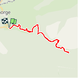


9,9 km | 23 km-effort


Gebruiker


Gratisgps-wandelapplicatie
 SityTrail
IGN / Geografische instituten
SityTrail World
De wereld gaat voor u open
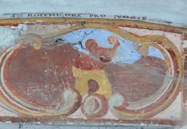
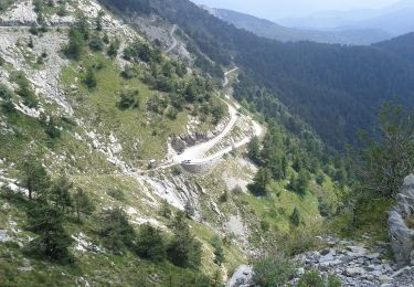
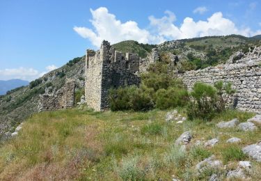
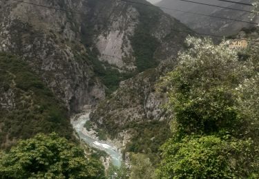
Tocht Stappen van 11,8 km beschikbaar op Provence-Alpes-Côte d'Azur, Alpes-Maritimes, Saorge. Deze tocht wordt voorgesteld door jlrayon.
Rando du 21/11/2017 (trace épurée, dénivelée corrigée), le GPS est fortement perturbé après le pont de Castou et dans le vallon de la Madonina. Piste interdite ce jour-là après la borne 166.
Te voet
Te voet
Te voet
Te voet
Te voet

Stappen
Stappen

Stappen
Stappen