


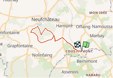

24 km | 31 km-effort

Gebruiker


Gratisgps-wandelapplicatie
 SityTrail
IGN / Geografische instituten
SityTrail World
De wereld gaat voor u open
Tocht Paard van 12,3 km beschikbaar op Wallonië, Luxemburg, Neufchâteau. Deze tocht wordt voorgesteld door alfreson.
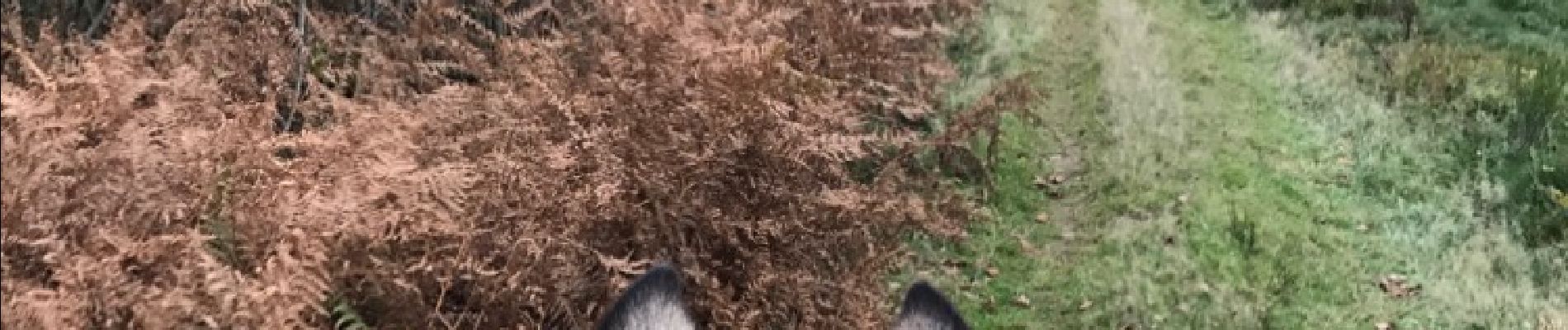
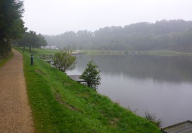
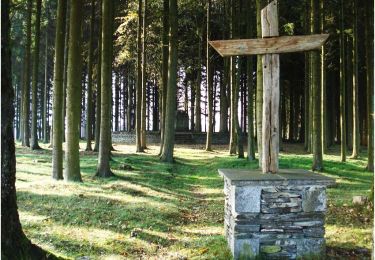
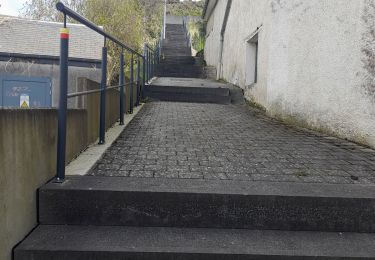
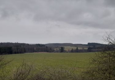
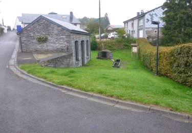
Campagne, bois et lac de Neufchâteau... un passage délicat le long de la rivière, sur une sente étroite avec de la rubalise qui indique le danger à gauche, avec le talus presque à pic qui surplombe la rivière...


Stappen
Stappen
Stappen
Stappen
Stappen
Stappen
Te voet
Stappen

Mountainbike