


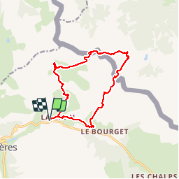


9,1 km | 14 km-effort

Gebruiker


Gratisgps-wandelapplicatie
 SityTrail
IGN / Geografische instituten
SityTrail World
De wereld gaat voor u open
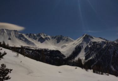
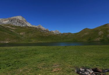
Tocht Stappen van 13,8 km beschikbaar op Provence-Alpes-Côte d'Azur, Hautes-Alpes, Cervières. Deze tocht wordt voorgesteld door silvestreclaudine.
Depart parking apres le "mur des Aittes "randonnée sans difficulté particulière


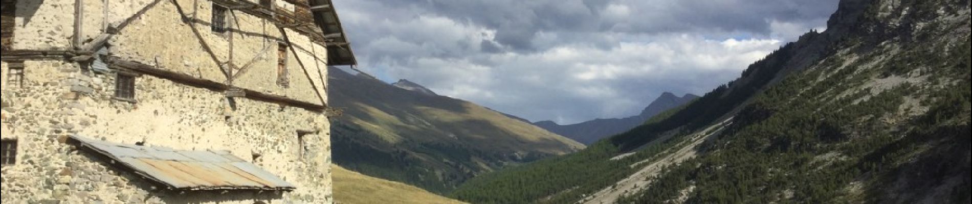
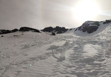
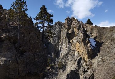
21 fotos in totaal. Klik op een foto om ze allemaal in de galerij weer te geven.

Stappen
Ski randonnée
Stappen
Ski randonnée

Ski randonnée

Stappen

Stappen

Sneeuwschoenen
Stappen