21 km | 28 km-effort
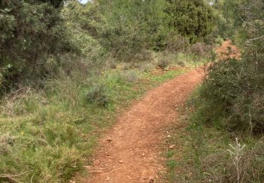
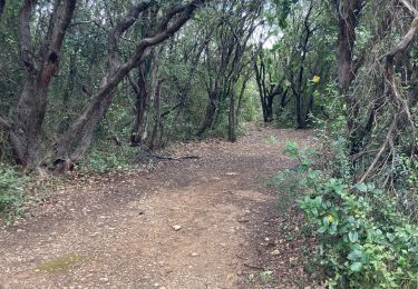
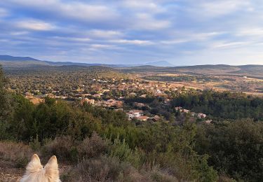
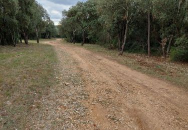
Montarnaud (côtes d'Agrès, bois de la Rouvière)
coulombf
Gebruiker
Lengte
10,6 km
Max. hoogte
314 m
Positief hoogteverschil
202 m
Km-Effort
13,3 km
Min. hoogte
209 m
Negatief hoogteverschil
207 m
Boucle
Ja
Datum van aanmaak :
2018-04-17 10:50:21.885
Laatste wijziging :
2018-04-17 10:50:21.885
2h53
Moeilijkheid : Gemakkelijk
Gratisgps-wandelapplicatie
Over ons
Tocht Stappen van 10,6 km beschikbaar op Occitanië, Hérault, Montarnaud. Deze tocht wordt voorgesteld door coulombf.
Plaatsbepaling
Land:
France
Regio :
Occitanië
Departement/Provincie :
Hérault
Gemeente :
Montarnaud
Locatie:
Unknown
Vertrek:(Dec)
Vertrek:(UTM)
554681 ; 4833614 (31T) N.
Opmerkingen
Wandeltochten in de omgeving
2023-01-03_14h52m32_Le Roc de Pampelune et son oppidum et le Dolmen A du Mas ...
Stappen
Zeer moeilijk
(1)
Argelliers,
Occitanië,
Hérault,
France
6h 25min
Ja
Grand tour
Noords wandelen
Moeilijk
Montarnaud,
Occitanië,
Hérault,
France
16,1 km | 21 km-effort
3h 0min
Ja
MONTARNAUD
Noords wandelen
Gemakkelijk
Montarnaud,
Occitanië,
Hérault,
France
7,6 km | 10,2 km-effort
1h 41min
Ja
Boucle de la Boisière
Stappen
Zeer moeilijk
La Boissière,
Occitanië,
Hérault,
France
14,7 km | 21 km-effort
4h 7min
Ja
2023-01-15_18h33m54_Massifs et vallées au Sud de Saint-Paul-et-Valmalle
Stappen
Zeer moeilijk
(1)
Saint-Paul-et-Valmalle,
Occitanië,
Hérault,
France
16,7 km | 23 km-effort
5h 22min
Ja
2022-12-29_14h51m49_Les Dolmens de Vailhauquès
Stappen
Moeilijk
(3)
Argelliers,
Occitanië,
Hérault,
France
9,4 km | 12,3 km-effort
2h 47min
Ja
tour montarnaud et argelliers
Stappen
Gemakkelijk
Montarnaud,
Occitanië,
Hérault,
France
17,1 km | 22 km-effort
3h 54min
Ja
8174203-De la Boissière à Aniane
Stappen
Zeer moeilijk
(1)
La Boissière,
Occitanië,
Hérault,
France
17,4 km | 23 km-effort
5h 10min
Ja
la boissiere
Stappen
Heel gemakkelijk
(2)
La Boissière,
Occitanië,
Hérault,
France
12 km | 15,2 km-effort
3h 34min
Ja
Balade en forêt .le grand crochet permet d'éviter un sentier très raide et empiéré
&&