


956 m | 1 km-effort


Gebruiker


Gratisgps-wandelapplicatie
 SityTrail
IGN / Geografische instituten
SityTrail World
De wereld gaat voor u open
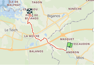
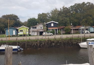
Tocht Andere activiteiten van 8,2 km beschikbaar op Nieuw-Aquitanië, Gironde, Mios. Deze tocht wordt voorgesteld door Domdomii.
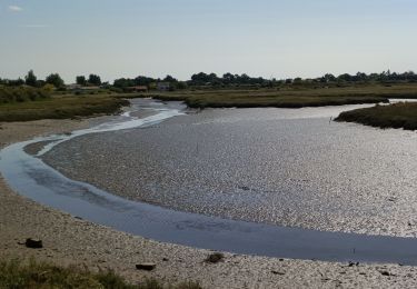
Descente de la Leyre en canoë
Stappen
Stappen
Stappen
Stappen
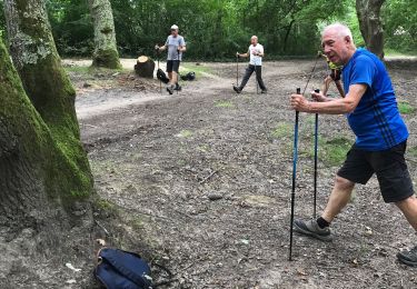
Noords wandelen
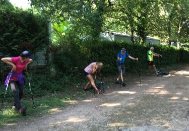
Noords wandelen
Stappen

Lopen

Noords wandelen