


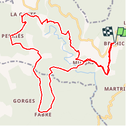

11,9 km | 20 km-effort


Gebruiker


Gratisgps-wandelapplicatie
 SityTrail
IGN / Geografische instituten
SityTrail World
De wereld gaat voor u open
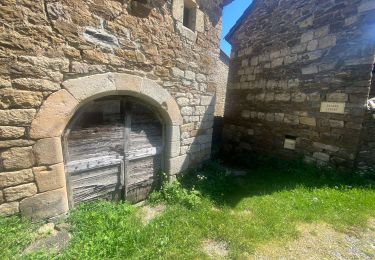
Tocht Stappen van 13,5 km beschikbaar op Auvergne-Rhône-Alpes, Ardèche, Les Vans. Deze tocht wordt voorgesteld door JEANPIERRE2.
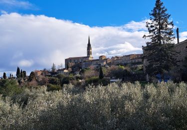
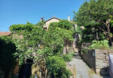
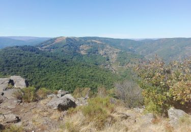
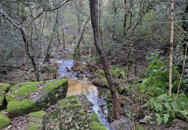
TRES BELLE RANDONNEE CEVENOLE QUI SURPLOMBE LA GANIERE ET OFFRE DE BEAUX POINTS DE VUE SUR LA VALLEE. Avant MURJAS, descente raide et glissante.

Stappen
Stappen

Stappen
Stappen
Stappen

Stappen
Stappen
Stappen

Stappen
descente très escarpées