


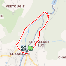


6,4 km | 8,6 km-effort


Gebruiker


Gratisgps-wandelapplicatie
 SityTrail
IGN / Geografische instituten
SityTrail World
De wereld gaat voor u open
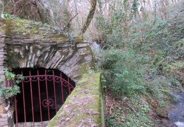
Tocht Stappen van 3 km beschikbaar op Nieuw-Aquitanië, Corrèze, Allassac. Deze tocht wordt voorgesteld door houbart.
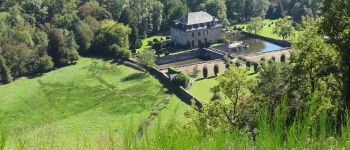
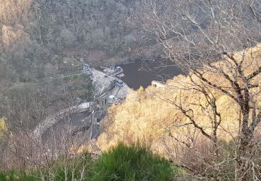
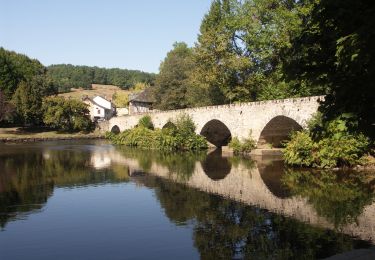
A voir : le magnifique pont médiéval du 16ème siècle "à becs" sur la Vézère avec six arches ogivales, puis la chapelle et ses vitraux signés Chagall et le château qu'on aperçoit depuis la route.


Stappen

Stappen
Trail
Stappen
Stappen

Stappen
Stappen

Stappen

Stappen