


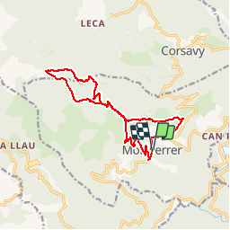


7,5 km | 11,9 km-effort

Gebruiker


Gratisgps-wandelapplicatie
 SityTrail
IGN / Geografische instituten
SityTrail World
De wereld gaat voor u open
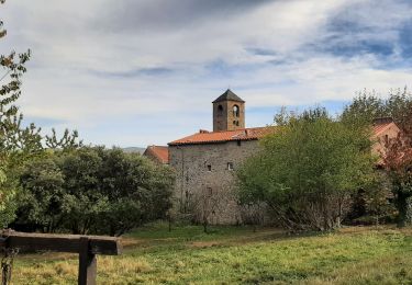
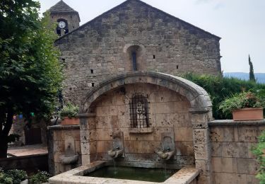
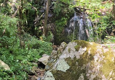
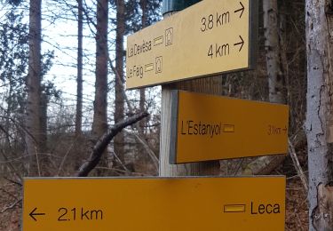
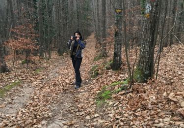
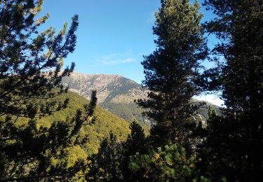
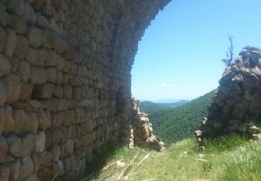
Tocht Stappen van 16 km beschikbaar op Occitanië, Pyrénées-Orientales, Montferrer. Deze tocht wordt voorgesteld door jcmartin.


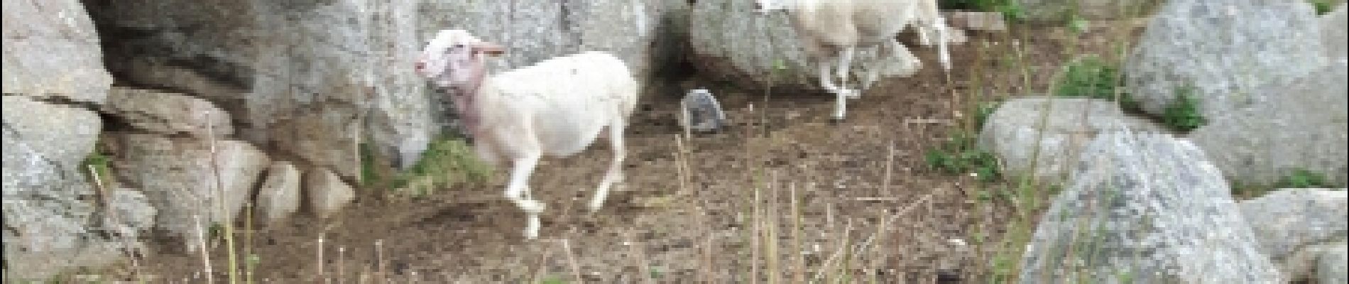
Stappen
Stappen
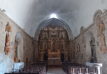
Stappen
Stappen
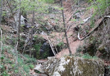
Stappen
Stappen
Stappen
Stappen
Stappen