


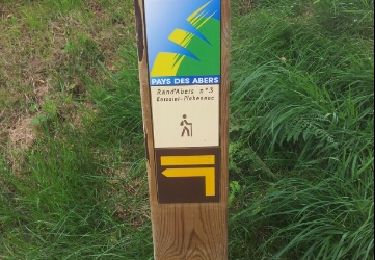
2,6 km | 2,8 km-effort


Promenez-vous au bout du monde !


Gratisgps-wandelapplicatie
 SityTrail
IGN / Geografische instituten
SityTrail World
De wereld gaat voor u open
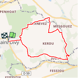
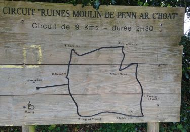
Tocht Stappen van 8,4 km beschikbaar op Bretagne, Finistère, Saint-Divy. Deze tocht wordt voorgesteld door Balades en Finistère.
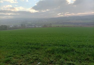
Au départ de Saint Divy, uneboucle vers l'est. Milin Var'h Malvezan Lostt ar C'hoat et retour
Stappen
Noords wandelen
Noords wandelen
Noords wandelen
Stappen
Stappen

Paard
Mountainbike

Stappen