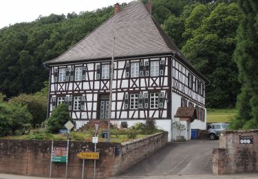
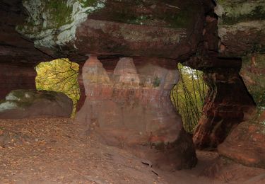
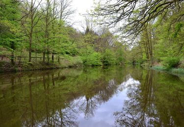
17,3 km | 24 km-effort
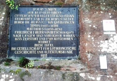
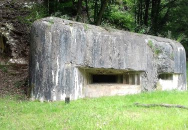
Sturzelbronn camping Muhlenbach-Chateau Lutzelhardt
chanpat
Gebruiker
Lengte
27 km
Max. hoogte
373 m
Positief hoogteverschil
544 m
Km-Effort
34 km
Min. hoogte
245 m
Negatief hoogteverschil
547 m
Boucle
Neen
Datum van aanmaak :
2017-08-15 00:00:00.0
Laatste wijziging :
2017-08-15 00:00:00.0
4h13
Moeilijkheid : Medium
Gratisgps-wandelapplicatie
Over ons
Tocht Paard van 27 km beschikbaar op Grand Est, Moselle, Sturzelbronn. Deze tocht wordt voorgesteld door chanpat.
Beschrijving
Rando étoile départ camping Muhlenbach à Sturzelbronn
Plaatsbepaling
Land:
France
Regio :
Grand Est
Departement/Provincie :
Moselle
Gemeente :
Sturzelbronn
Locatie:
Unknown
Vertrek:(Dec)
Vertrek:(UTM)
397250 ; 5435532 (32U) N.
Opmerkingen
Wandeltochten in de omgeving
Autour des moines de Sturzelbronn
Te voet
Gemakkelijk
Sturzelbronn,
Grand Est,
Moselle,
France
10,9 km | 14,8 km-effort
3h 22min
Ja
Sentier paysager passe-frontière n°3
Te voet
Gemakkelijk
Sturzelbronn,
Grand Est,
Moselle,
France
10 km | 13,8 km-effort
3h 8min
Ja
Blue dot
Te voet
Gemakkelijk
Philippsbourg,
Grand Est,
Moselle,
France
6,6 km | 8,3 km-effort
1h 53min
Neen
Petit circuit de l'étang de Hanau
Te voet
Gemakkelijk
Philippsbourg,
Grand Est,
Moselle,
France
5,8 km | 7,3 km-effort
1h 39min
Neen
Blue cross
Te voet
Moeilijk
Sturzelbronn,
Grand Est,
Moselle,
France
27 km | 37 km-effort
8h 29min
Neen
Rundwanderweg Eppenbrunn 4
Te voet
Gemakkelijk
Eppenbrunn,
Rijnland-Palts,
Südwestpfalz,
Germany
7 km | 9,3 km-effort
2h 7min
Ja
Rundwanderweg Eppenbrunn 3
Te voet
Gemakkelijk
Eppenbrunn,
Rijnland-Palts,
Südwestpfalz,
Germany
4,2 km | 5,8 km-effort
1h 18min
Neen
Sentier paysager passe-frontière n°4
Te voet
Medium
Sturzelbronn,
Grand Est,
Moselle,
France
19,1 km | 25 km-effort
5h 46min
Ja