


10,8 km | 18,3 km-effort


Gebruiker


Gratisgps-wandelapplicatie
 SityTrail
IGN / Geografische instituten
SityTrail World
De wereld gaat voor u open
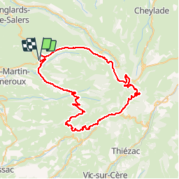
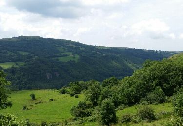
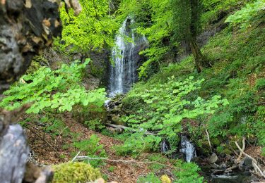
Tocht Fiets van 68 km beschikbaar op Auvergne-Rhône-Alpes, Cantal, Salers. Deze tocht wordt voorgesteld door fesseneric.
Boucle au départ de Salers. 6 cols, dont le plus dur "Pas de Peyrol" à 1241m.
Stappen

Elektrische fiets
Elektrische fiets
Elektrische fiets
Elektrische fiets
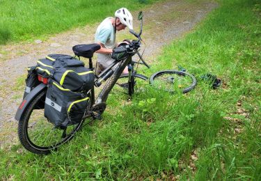
Elektrische fiets

Stappen
Stappen

Ski randonnée