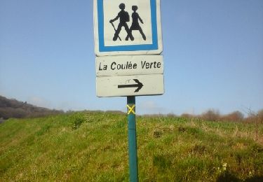
12,3 km | 14,5 km-effort
22- Le Jura
fitz2014
Gebruiker
Lengte
12,2 km
Max. hoogte
170 m
Positief hoogteverschil
217 m
Km-Effort
15,1 km
Min. hoogte
77 m
Negatief hoogteverschil
216 m
Boucle
Ja
Datum van aanmaak :
2017-07-31 00:00:00.0
Laatste wijziging :
2017-07-31 00:00:00.0
3h15
Moeilijkheid : Medium
Gratisgps-wandelapplicatie
Over ons
Tocht Stappen van 12,2 km beschikbaar op Hauts-de-France, Oise, Fontaine-Bonneleau. Deze tocht wordt voorgesteld door fitz2014.
Plaatsbepaling
Land:
France
Regio :
Hauts-de-France
Departement/Provincie :
Oise
Gemeente :
Fontaine-Bonneleau
Locatie:
Unknown
Vertrek:(Dec)
Vertrek:(UTM)
438533 ; 5501356 (31U) N.
Opmerkingen
Wandeltochten in de omgeving
Croissy-sur celle
Stappen
Moeilijk
Croissy-sur-Celle,
Hauts-de-France,
Oise,
France
12,8 km | 15,8 km-effort
2h 53min
Ja
autour de le gallet
Stappen
Gemakkelijk
Le Gallet,
Hauts-de-France,
Oise,
France
13,8 km | 17,6 km-effort
2h 40min
Ja
Fontaine Bonneleau
Stappen
Medium
Fontaine-Bonneleau,
Hauts-de-France,
Oise,
France
16,5 km | 20 km-effort
3h 36min
Ja
Bonne l’eau
Stappen
Fontaine-Bonneleau,
Hauts-de-France,
Oise,
France
37 km | 0 m-effort
2h 20min
Neen
très beau parcours ensoleillé