


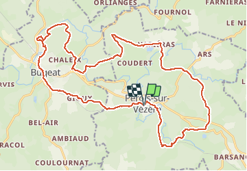

37 km | 47 km-effort


Gebruiker


Gratisgps-wandelapplicatie
 SityTrail
IGN / Geografische instituten
SityTrail World
De wereld gaat voor u open
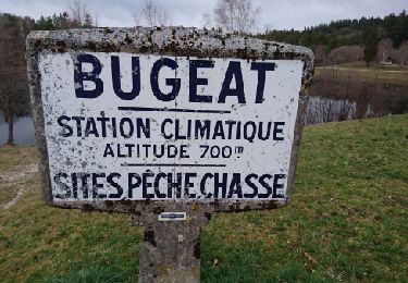
Tocht Mountainbike van 26 km beschikbaar op Nieuw-Aquitanië, Corrèze, Pérols-sur-Vézère. Deze tocht wordt voorgesteld door jm.lemore.
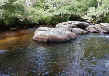
Mon parcours préféré dans le coin.
C'est roulant, joueur, un peu technique, mais jamais longtemps (on peu pousser si on est débutant).
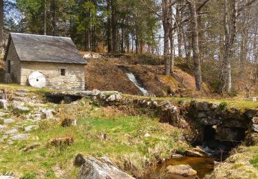
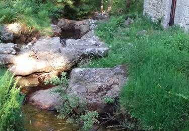
Ne pas rater un arrêt aux moulins de Razel.

Mountainbike
Stappen
Stappen
Stappen
Stappen
Stappen

Stappen
Stappen
Stappen