


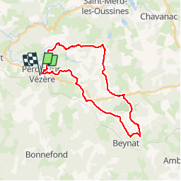

37 km | 47 km-effort


Gebruiker


Gratisgps-wandelapplicatie
 SityTrail
IGN / Geografische instituten
SityTrail World
De wereld gaat voor u open
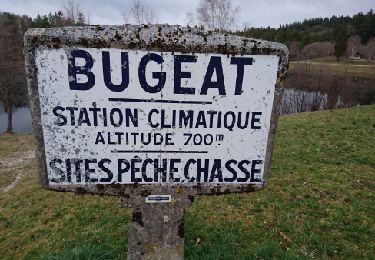
Tocht Mountainbike van 29 km beschikbaar op Nieuw-Aquitanië, Corrèze, Pérols-sur-Vézère. Deze tocht wordt voorgesteld door jm.lemore.
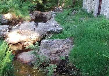
Parcours roulant et joueur. Possibilités de l'écourter plusieurs fois en coupant.
Sur ce tracé, il y a un petit bout d'un chemin qu'on a eu avec des herbes hautes (très peu fréquenté), mais qui est très bien passé.
Pas de grosse difficulté technique.

Mountainbike
Stappen
Stappen
Stappen
Stappen
Stappen

Stappen
Stappen
Stappen