


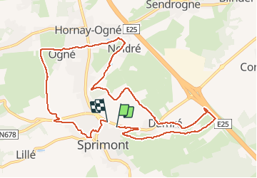

24 km | 34 km-effort


Gebruiker


Gratisgps-wandelapplicatie
 SityTrail
IGN / Geografische instituten
SityTrail World
De wereld gaat voor u open
Tocht Andere activiteiten van 11 km beschikbaar op Wallonië, Luik, Sprimont. Deze tocht wordt voorgesteld door 2heavy.
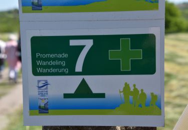
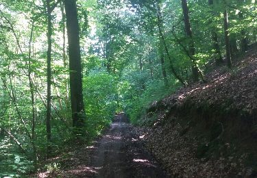
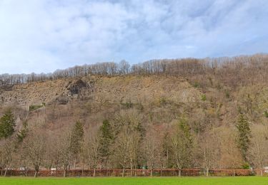
Mooie afwisselende wandeling, goed bewegwijzerd. Weinig te zien van de steengroeven, museum een bezoekje waard. In het seizoen is er halfweg een drinkgelegenheid.

Stappen

Stappen

Stappen
Stappen

Stappen

Stappen
Stappen

Stappen
Stappen