14,5 km | 29 km-effort
Habourade et Peyrelade
jysc238
Gebruiker
Lengte
12,4 km
Max. hoogte
1519 m
Positief hoogteverschil
718 m
Km-Effort
22 km
Min. hoogte
971 m
Negatief hoogteverschil
718 m
Boucle
Ja
Datum van aanmaak :
2017-07-07 00:00:00.0
Laatste wijziging :
2017-07-07 00:00:00.0
4h44
Moeilijkheid : Moeilijk
Gratisgps-wandelapplicatie
Over ons
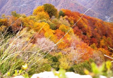
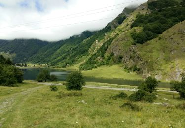
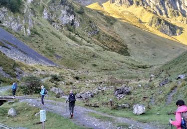
Tocht Stappen van 12,4 km beschikbaar op Occitanië, Hautes-Pyrénées, Estaing. Deze tocht wordt voorgesteld door jysc238.
Beschrijving
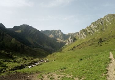
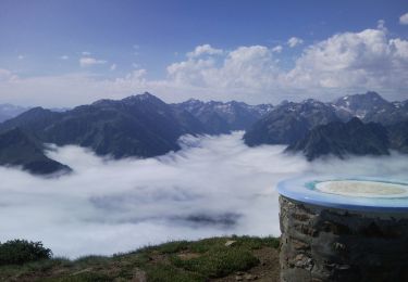
Départ depuis le pont de Miaous à Estaing. On suit ensuite le GR 10 puis le GRP Tour du Val d'Azun.
Plaatsbepaling
Land:
France
Regio :
Occitanië
Departement/Provincie :
Hautes-Pyrénées
Gemeente :
Estaing
Locatie:
Unknown
Vertrek:(Dec)
Vertrek:(UTM)
729930 ; 4756549 (30T) N.
Opmerkingen
Wandeltochten in de omgeving
Les Viellettes - Estaing
Stappen
Moeilijk
(1)
Estaing,
Occitanië,
Hautes-Pyrénées,
France
13,1 km | 24 km-effort
4h 0min
Ja
ESTAING RS le der de 2022
Stappen
Gemakkelijk
Estaing,
Occitanië,
Hautes-Pyrénées,
France
3,6 km | 5,1 km-effort
1h 5min
Ja
ARRENS MARSOUS Le Turon des aulhes 2906361
Stappen
Medium
(1)
Arrens-Marsous,
Occitanië,
Hautes-Pyrénées,
France
9,5 km | 16,4 km-effort
5h 55min
Ja
65-Lac_Bleu_ ILHEOU_12Km -680m
Stappen
Medium
Cauterets,
Occitanië,
Hautes-Pyrénées,
France
12,2 km | 21 km-effort
4h 49min
Ja
2023-09-07 Lac dHiléou
Stappen
Medium
Cauterets,
Occitanië,
Hautes-Pyrénées,
France
11,4 km | 20 km-effort
3h 35min
Ja
ESTAING autour du lac
Stappen
Gemakkelijk
Estaing,
Occitanië,
Hautes-Pyrénées,
France
3,7 km | 5,3 km-effort
1h 9min
Ja
ESTAING et la cabane d'Ariousse "enfin presque" G3 3409014
Stappen
Moeilijk
Estaing,
Occitanië,
Hautes-Pyrénées,
France
10,3 km | 14,8 km-effort
2h 49min
Ja
Ruines et lac de Liantran
Stappen
Gemakkelijk
Estaing,
Occitanië,
Hautes-Pyrénées,
France
17,7 km | 28 km-effort
6h 45min
Ja