


11,1 km | 16,4 km-effort

Gebruiker


Gratisgps-wandelapplicatie
 SityTrail
IGN / Geografische instituten
SityTrail World
De wereld gaat voor u open
Tocht Stappen van 9,6 km beschikbaar op Waadland, District d'Aigle, Ormont-Dessous. Deze tocht wordt voorgesteld door duamerg.
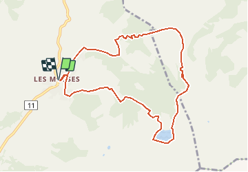
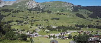
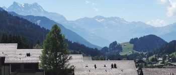
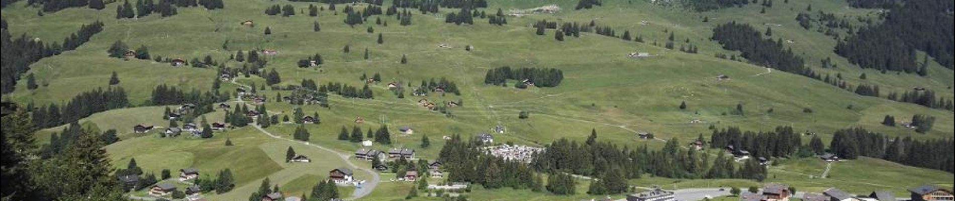
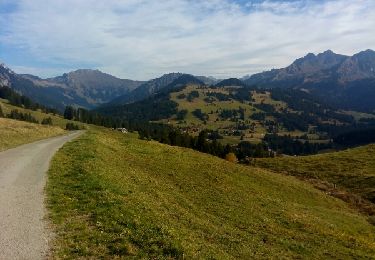
Laisser la voiture au col des Mosses et suivre les indicateurs 'Lac Lioson'. Jusqu'au lieu dit les Cartiers, goudron. Ensuite joli chemin jusqu'à Lioson d'en Bas. Goudron jusqu'au dernier parc à voitures.
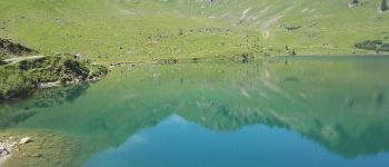
Une fois au lac Lioson (restaurant) faites en le tour avec un arrêt repas puis prenez la destination Pra Cornet. De là en 1 heure vous retournez au col des Mosses ( en partie sur goudron).
Le lac et son environnement sont très jolis.
Course pas très longue sans difficultés.


Stappen
Stappen
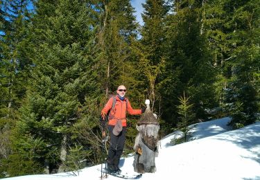
Ski randonnée

Mountainbike

Stappen
Stappen

Wintersport
Stappen
Stappen