![](/images/other/stat-length.png)
![Tocht Stappen Le Chambon-sur-Lignon - Tence-170623 - CreuxLoup-RetourVVF - Photo](https://media.geolcdn.com/t/1900/400/ext.pjpeg?maxdim=2&url=https%3A%2F%2Fservices.sitytrail.com%2FGeolivesWS%2FDownloadMedia.ashx%3FTrailID%3D777775%26Media%3Dfix__20170623092557.jpg)
Tence-170623 - CreuxLoup-RetourVVF
randodan
Gebruiker
![Lengte](/images/other/stat-length.png)
![Max. hoogte](https://static1.geolcdn.com/siteimages/upload/files/1508320355ic_sort_altitude_max_24dp.png)
![Positief hoogteverschil](https://static1.geolcdn.com/siteimages/upload/files/1508320355ic_sort_den_pos_24dp.png)
![Km-Effort](/images/other/stat-length.png)
![Min. hoogte](https://static1.geolcdn.com/siteimages/upload/files/1508320355ic_sort_altitude_min_24dp.png)
![Negatief hoogteverschil](https://static1.geolcdn.com/siteimages/upload/files/1508320355ic_sort_den_neg_24dp.png)
![Boucle](https://static1.geolcdn.com/siteimages/upload/files/16400158638029165_repeat_loop_refresh_sync_direction_icon.png)
![Stappen](https://static1.geolcdn.com/sitytour/trail-icons/101.png)
1h40
Moeilijkheid : Gemakkelijk
![Scan deze QR-code om de tocht te openen in de SityTrail-applicatie](https://capi.geolives.com/qq0zvz2zws4bq2lad0pu/sitytour/trails/777775/qr.png?size=200)
Gratisgps-wandelapplicatie
Over ons
Tocht Stappen van 6,3 km beschikbaar op Auvergne-Rhône-Alpes, Haute-Loire, Le Chambon-sur-Lignon. Deze tocht wordt voorgesteld door randodan.
Beschrijving
Tence, 23 juin 2017<br>
- Le Creux du Loup, de La Celle au VVF -<br>
<small>(suite de la fiche "Creux du Loup" du VVF)</small><br>
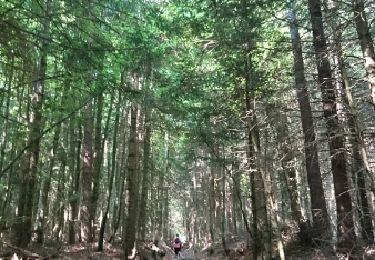
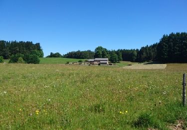
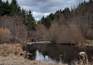
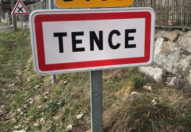
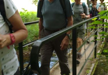
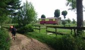
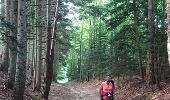
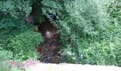
8h45, départ de La Celle, on attaque la suite du circuit abandonné avant-hier . Petite erreur au départ, on était parti vers un grand bâtiment clos (forestier ?) . Le Ruisseau de Meynier, un malheureux ru qui sera bientôt à sec . De l'autre côté du ruisseau, le chemin remonte doucement et agréablement . Passons devant le fameux "Creux du Loup", le gîte-roulotte.<br>
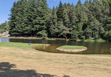
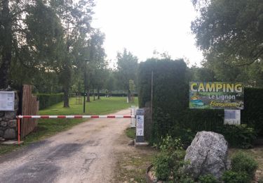
10h, Josette et Caro décident de continuer sur Tence, moi, je rentre . 10h20 au VVF.<br>
3 participants (Jo,Ca,Da).
Plaatsbepaling
Opmerkingen
Wandeltochten in de omgeving
![Tocht Stappen Le Chambon-sur-Lignon - Le Cholet (43) - Photo](https://media.geolcdn.com/t/375/260/aa6fd3fe-793f-4ba8-96d9-383b9ff1e66a.jpg&format=jpg&maxdim=2)
![Stappen Stappen](https://static1.geolcdn.com/sitytour/trail-icons/101.png)
Stappen
![](/images/other/stat-length.png)
![](https://static1.geolcdn.com/siteimages/upload/files/16400158638029165_repeat_loop_refresh_sync_direction_icon.png)
![Tocht Stappen Tence - Tence-170621 - CreuxLoup-Beaudors - Photo](https://media.geolcdn.com/t/375/260/ext.jpg?maxdim=2&url=https%3A%2F%2Fservices.sitytrail.com%2FGeolivesWS%2FDownloadMedia.ashx%3FTrailID%3D776811%26Media%3Dfix__20170621110107.jpg)
![Stappen Stappen](https://static1.geolcdn.com/sitytour/trail-icons/101.png)
Stappen
![](/images/other/stat-length.png)
![](https://static1.geolcdn.com/siteimages/upload/files/16400158638029165_repeat_loop_refresh_sync_direction_icon.png)
![Tocht Stappen Tence - Tence-170618 - RocheDruidique-Mazeaux - Photo](https://media.geolcdn.com/t/375/260/ext.jpg?maxdim=2&url=https%3A%2F%2Fservices.sitytrail.com%2FGeolivesWS%2FDownloadMedia.ashx%3FTrailID%3D775243%26Media%3Dfix__20170618111716.jpg)
![Stappen Stappen](https://static1.geolcdn.com/sitytour/trail-icons/101.png)
Stappen
![](/images/other/stat-length.png)
![](https://static1.geolcdn.com/siteimages/upload/files/16400158638029165_repeat_loop_refresh_sync_direction_icon.png)
![Tocht Stappen Mazet-Saint-Voy - Salettes et Mazalibran - Photo](https://media.geolcdn.com/t/375/260/42cfbe72-4434-4356-970f-aa668c703a3b.jpg&format=jpg&maxdim=2)
![Stappen Stappen](https://static1.geolcdn.com/sitytour/trail-icons/101.png)
Stappen
![](/images/other/stat-length.png)
![](https://static1.geolcdn.com/siteimages/upload/files/16400158638029165_repeat_loop_refresh_sync_direction_icon.png)
![Tocht Stappen Le Chambon-sur-Lignon - variante circuit des pelerins - 7 km - Photo](https://media.geolcdn.com/t/375/260/81d8f5d7-e049-4aef-ade6-76d30bd40c22.jpg&format=jpg&maxdim=2)
![Stappen Stappen](https://static1.geolcdn.com/sitytour/trail-icons/101.png)
Stappen
![](/images/other/stat-length.png)
![](https://static1.geolcdn.com/siteimages/upload/files/16400158638029165_repeat_loop_refresh_sync_direction_icon.png)
![Tocht Stappen Tence - Tence (13 km - D. 330 m) - Photo](https://media.geolcdn.com/t/375/260/746c91c5-9841-4de0-8e2b-f2f89040594e.jpg&format=jpg&maxdim=2)
![Stappen Stappen](https://static1.geolcdn.com/sitytour/trail-icons/101.png)
Stappen
![](/images/other/stat-length.png)
![](https://static1.geolcdn.com/siteimages/upload/files/16400158638029165_repeat_loop_refresh_sync_direction_icon.png)
![Tocht Wegfiets Le Chambon-sur-Lignon - 07,Chambon sur lignon Annonay vélo 21 08 21 - Photo](https://media.geolcdn.com/t/375/260/ext.jpg?maxdim=2&url=https%3A%2F%2Fstatic1.geolcdn.com%2Fsiteimages%2Fupload%2Ffiles%2F1524743154velo.jpg)
![Wegfiets Wegfiets](https://static1.geolcdn.com/sitytour/trail-icons/201.png)
Wegfiets
![](/images/other/stat-length.png)
![](https://static1.geolcdn.com/siteimages/upload/files/16400158638029165_repeat_loop_refresh_sync_direction_icon.png)
![Tocht Stappen Tence - tence 2620 - Photo](https://media.geolcdn.com/t/375/260/d54c0e5b-d4b1-4935-88bb-91a84335bb3d.jpg&format=jpg&maxdim=2)
![Stappen Stappen](https://static1.geolcdn.com/sitytour/trail-icons/101.png)
Stappen
![](/images/other/stat-length.png)
![](https://static1.geolcdn.com/siteimages/upload/files/16400158638029165_repeat_loop_refresh_sync_direction_icon.png)
![Tocht Stappen Le Chambon-sur-Lignon - Le Chambon-sur-Lignon - Photo](https://media.geolcdn.com/t/375/260/ext.jpg?maxdim=2&url=https%3A%2F%2Fservices.sitytrail.com%2FGeolivesWS%2FDownloadMedia.ashx%3FTrailID%3D986554%26Media%3D20180614201248.jpg)
![Stappen Stappen](https://static1.geolcdn.com/sitytour/trail-icons/101.png)
Stappen
![](/images/other/stat-length.png)
![](https://static1.geolcdn.com/siteimages/upload/files/16400158638029165_repeat_loop_refresh_sync_direction_icon.png)