


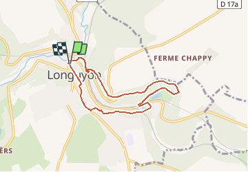

10,1 km | 12,3 km-effort


Gebruiker


Gratisgps-wandelapplicatie
 SityTrail
IGN / Geografische instituten
SityTrail World
De wereld gaat voor u open
Tocht Mountainbike van 6,2 km beschikbaar op Grand Est, Meurthe-et-Moselle, Longuyon. Deze tocht wordt voorgesteld door dom54400.
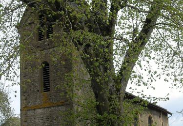
Randonnée VTT Courte à Longuyon En Lorraine, découverte de la ville et de la nature autour, passage par l'étang de profonde Fontaine et le centre ville, plusieurs pont au dessus de la Crusnes
Te voet
Te voet
Te voet
Te voet
Te voet

Stappen

Te voet
Te voet
Te voet