


6,5 km | 13,7 km-effort

Gebruiker


Gratisgps-wandelapplicatie
 SityTrail
IGN / Geografische instituten
SityTrail World
De wereld gaat voor u open
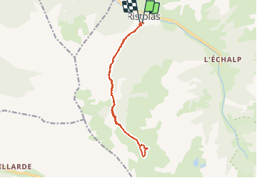
Tocht Stappen van 14,5 km beschikbaar op Provence-Alpes-Côte d'Azur, Hautes-Alpes, Abriès-Ristolas. Deze tocht wordt voorgesteld door margotte.
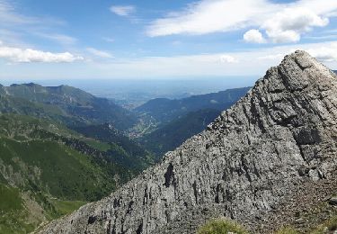
belle rando avec une montée semi ombragée dans les meleze. Chamois à l'ubac et toute la flore alpine en exubérance. la cerise sur le gâteau... 2 magnifiques lacs.
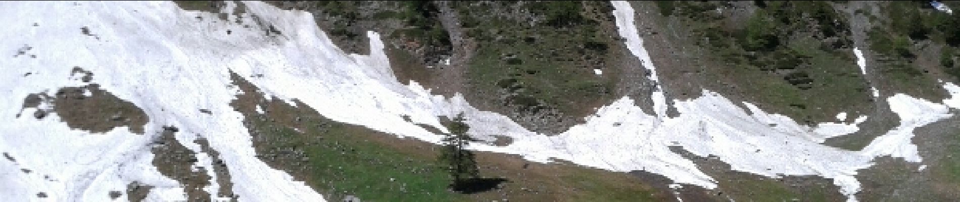
 - Photo 1")
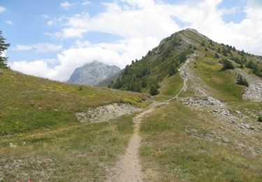
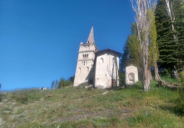
 - Photo 2")
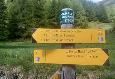
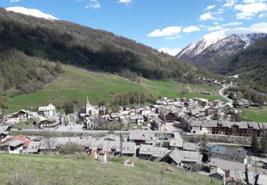
 - Photo 3")
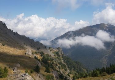
 - Photo 4")
Stappen
Stappen

Stappen

Stappen
Stappen

Stappen
Stappen
Stappen
Stappen