9 km | 12,3 km-effort
tardets - la madeleine
gersimcar
Gebruiker
Lengte
13 km
Max. hoogte
791 m
Positief hoogteverschil
594 m
Km-Effort
21 km
Min. hoogte
214 m
Negatief hoogteverschil
595 m
Boucle
Ja
Datum van aanmaak :
2017-06-05 00:00:00.0
Laatste wijziging :
2020-08-04 17:16:39.971
6h00
Moeilijkheid : Medium
Gratisgps-wandelapplicatie
Over ons
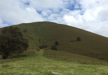
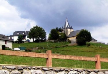
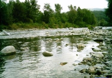
Tocht Stappen van 13 km beschikbaar op Nieuw-Aquitanië, Pyrénées-Atlantiques, Tardets-Sorholus. Deze tocht wordt voorgesteld door gersimcar.
Plaatsbepaling
Land:
France
Regio :
Nieuw-Aquitanië
Departement/Provincie :
Pyrénées-Atlantiques
Gemeente :
Tardets-Sorholus
Locatie:
Unknown
Vertrek:(Dec)
Vertrek:(UTM)
673761 ; 4776051 (30T) N.
Opmerkingen
Wandeltochten in de omgeving
OSSAS SUHARE "Heganbürü" balisage et reco (3721525)
Te voet
Gemakkelijk
Ossas-Suhare,
Nieuw-Aquitanië,
Pyrénées-Atlantiques,
France
2h 47min
Ja
erretzü
Stappen
Zeer moeilijk
Tardets-Sorholus,
Nieuw-Aquitanië,
Pyrénées-Atlantiques,
France
10,8 km | 17,1 km-effort
4h 1min
Ja
erretzü
Stappen
Zeer moeilijk
Tardets-Sorholus,
Nieuw-Aquitanië,
Pyrénées-Atlantiques,
France
10,8 km | 17,1 km-effort
4h 1min
Ja
Les pâturages de Bosmendieta
Stappen
Moeilijk
Alçay-Alçabéhéty-Sunharette,
Nieuw-Aquitanië,
Pyrénées-Atlantiques,
France
13,4 km | 24 km-effort
5h 0min
Ja
Hegan Bürü - Ossas Suhare
Stappen
Moeilijk
Ossas-Suhare,
Nieuw-Aquitanië,
Pyrénées-Atlantiques,
France
6,6 km | 8,9 km-effort
3h 30min
Neen
Sentiers des Lamiñaks - Camou - Cihigue
Stappen
Moeilijk
Camou-Cihigue,
Nieuw-Aquitanië,
Pyrénées-Atlantiques,
France
12,4 km | 21 km-effort
5h 30min
Ja
Sauguis La Madeleine G3 GM
Stappen
Zeer moeilijk
Sauguis-Saint-Étienne,
Nieuw-Aquitanië,
Pyrénées-Atlantiques,
France
11 km | 19,2 km-effort
4h 21min
Ja
ossas suhare G4FAIT
Stappen
Moeilijk
Ossas-Suhare,
Nieuw-Aquitanië,
Pyrénées-Atlantiques,
France
9 km | 12,2 km-effort
4h 57min
Ja
Trace Reco Sauguis Guy
Stappen
Sauguis-Saint-Étienne,
Nieuw-Aquitanië,
Pyrénées-Atlantiques,
France
13,9 km | 24 km-effort
7h 40min
Ja