


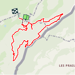


6,5 km | 9,5 km-effort

Gebruiker


Gratisgps-wandelapplicatie
 SityTrail
IGN / Geografische instituten
SityTrail World
De wereld gaat voor u open
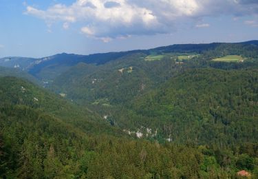
Tocht Stappen van 12,2 km beschikbaar op Bourgondië-Franche-Comté, Doubs, Charquemont. Deze tocht wordt voorgesteld door jibus90.
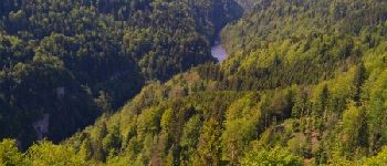
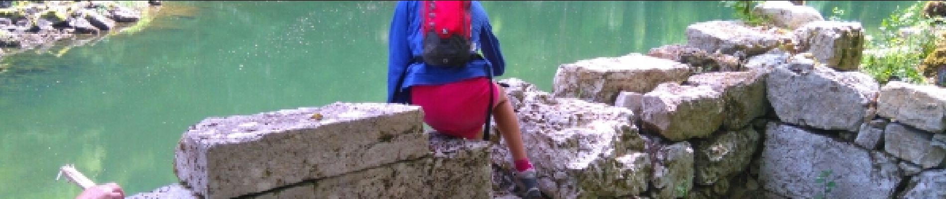
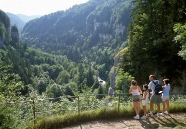
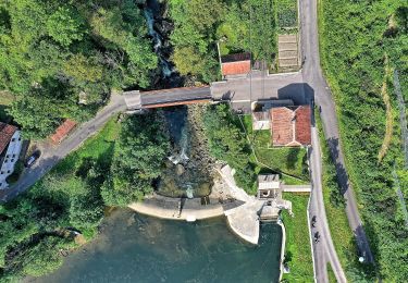
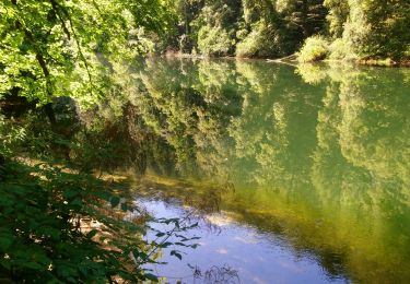
belle descente vers le Doubs un petit pique nique


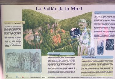
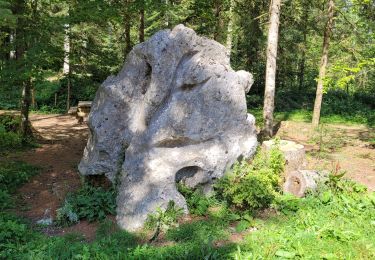
32 fotos in totaal. Klik op een foto om ze allemaal in de galerij weer te geven.
Stappen
Stappen
Te voet
Te voet

sport
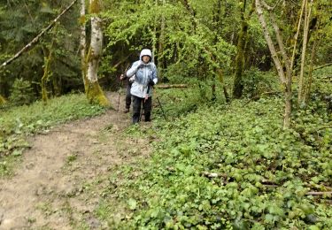
Stappen
Stappen
Stappen
Stappen