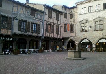
11,2 km | 14,6 km-effort
81_Andillac
jab31
Gebruiker
Lengte
17,8 km
Max. hoogte
280 m
Positief hoogteverschil
356 m
Km-Effort
23 km
Min. hoogte
180 m
Negatief hoogteverschil
356 m
Boucle
Ja
Datum van aanmaak :
2017-11-12 00:00:00.0
Laatste wijziging :
2017-11-12 00:00:00.0
4h09
Moeilijkheid : Medium
Gratisgps-wandelapplicatie
Over ons
Tocht Stappen van 17,8 km beschikbaar op Occitanië, Tarn, Andillac. Deze tocht wordt voorgesteld door jab31.
Beschrijving
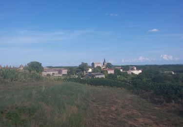
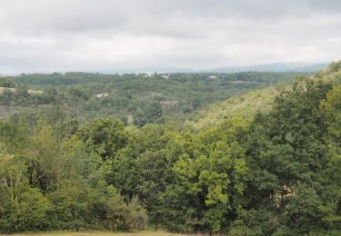
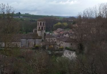
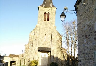
Du Cayla à la Vère; vignes villages et rivières
Plaatsbepaling
Land:
France
Regio :
Occitanië
Departement/Provincie :
Tarn
Gemeente :
Andillac
Locatie:
Unknown
Vertrek:(Dec)
Vertrek:(UTM)
411746 ; 4873468 (31T) N.
Opmerkingen
Wandeltochten in de omgeving
Cordes-sur-ciel / Sentier du Causse (boucle)
Stappen
Gemakkelijk
(3)
Souel,
Occitanië,
Tarn,
France
3h 8min
Ja
81_Les Cabannes_meulière_longue
Stappen
Medium
(1)
Amarens,
Occitanië,
Tarn,
France
16,4 km | 23 km-effort
4h 51min
Ja
81_Cahuzac sur Vère
Stappen
Medium
(1)
Cahuzac-sur-Vère,
Occitanië,
Tarn,
France
17,3 km | 22 km-effort
3h 40min
Ja
Campagnac Saint Bauzille
Stappen
Gemakkelijk
Campagnac,
Occitanië,
Tarn,
France
11,5 km | 16,1 km-effort
3h 10min
Ja
Souel la Riviere
Stappen
Gemakkelijk
Souel,
Occitanië,
Tarn,
France
13,2 km | 16,7 km-effort
3h 37min
Ja
Boucle Vieux Le Verdier Cahuzac sur Vère Andillac
Stappen
Heel gemakkelijk
Vieux,
Occitanië,
Tarn,
France
22 km | 29 km-effort
6h 52min
Ja
cahuzac sur sere sentier des lavoirs
Stappen
Heel gemakkelijk
(1)
Cahuzac-sur-Vère,
Occitanië,
Tarn,
France
18,4 km | 22 km-effort
5h 39min
Ja
Campagnac-Itzac
Stappen
Medium
Campagnac,
Occitanië,
Tarn,
France
12,2 km | 16,2 km-effort
3h 26min
Ja
Aveyron-121010 - Amarens-Castelnau (txt,gps,foto)
Stappen
Heel gemakkelijk
Amarens,
Occitanië,
Tarn,
France
22 km | 27 km-effort
7h 56min
Neen