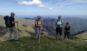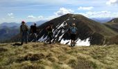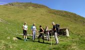

Le Cournudère en boucle depuis Bordes de Saube

Rouzier
Gebruiker

Lengte
17,2 km

Max. hoogte
2108 m

Positief hoogteverschil
1255 m

Km-Effort
34 km

Min. hoogte
979 m

Negatief hoogteverschil
1256 m
Boucle
Ja
Datum van aanmaak :
2017-05-16 00:00:00.0
Laatste wijziging :
2017-05-16 00:00:00.0
6h35
Moeilijkheid : Medium

Gratisgps-wandelapplicatie
Over ons
Tocht Stappen van 17,2 km beschikbaar op Occitanië, Hautes-Pyrénées, Ferrère. Deze tocht wordt voorgesteld door Rouzier.
Beschrijving
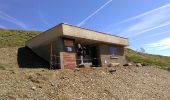
Bordes de Saubé, ruisseau du Pin, ancienne cabane du Pin, nouvelle cabane du Pin, montagne du Pin, sommet du Peberé, le Cournudère (2121m), montagne de Hontagnère.
Plaatsbepaling
Land:
France
Regio :
Occitanië
Departement/Provincie :
Hautes-Pyrénées
Gemeente :
Ferrère
Locatie:
Unknown
Vertrek:(Dec)
Vertrek:(UTM)
295361 ; 4755877 (31T) N.
Opmerkingen
Wandeltochten in de omgeving
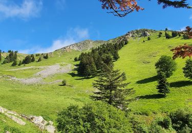
montagne d'Areng depuis la piste forestière après Férrères


Stappen
Moeilijk
Ferrère,
Occitanië,
Hautes-Pyrénées,
France

11,7 km | 24 km-effort
7h 44min
Ja
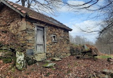
pic de Douly en boucle depuis Ferrère


Stappen
Medium
Ferrère,
Occitanië,
Hautes-Pyrénées,
France

12,4 km | 25 km-effort
5h 56min
Ja
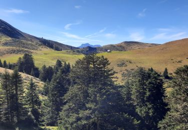
Mountarrouy en boucle depuis la station de Nistos


Stappen
Medium
Sarrancolin,
Occitanië,
Hautes-Pyrénées,
France

10,8 km | 19,1 km-effort
5h 48min
Ja
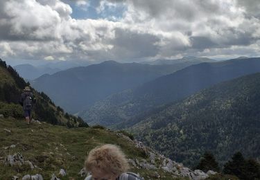
nistos Nestea fait G4


Stappen
Heel gemakkelijk
Sarrancolin,
Occitanië,
Hautes-Pyrénées,
France

7,4 km | 10,2 km-effort
4h 21min
Ja
Cap Nestes


Stappen
Medium
Sarrancolin,
Occitanië,
Hautes-Pyrénées,
France

4 km | 7,7 km-effort
2h 10min
Ja
départ Ferrere , Ourde sortie du bois Douly redescende normale rando perso av...


Stappen
Medium
Ferrère,
Occitanië,
Hautes-Pyrénées,
France

13,9 km | 27 km-effort
6h 43min
Ja

Cimetière Anglo-Canadien - Pic de Douly et Mont Aspet


Stappen
Moeilijk
Nistos,
Occitanië,
Hautes-Pyrénées,
France

8,8 km | 14,9 km-effort
3h 23min
Ja
soum de templa


Stappen
Medium
Ferrère,
Occitanië,
Hautes-Pyrénées,
France

16,7 km | 32 km-effort
5h 21min
Ja
Marrougne en boucle depuis Ferrère


Stappen
Zeer moeilijk
Ferrère,
Occitanië,
Hautes-Pyrénées,
France

9,9 km | 20 km-effort
5h 59min
Ja


 SityTrail


