


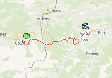

6,7 km | 12,3 km-effort

Gebruiker


Gratisgps-wandelapplicatie
 SityTrail
IGN / Geografische instituten
SityTrail World
De wereld gaat voor u open
Tocht Andere activiteiten van 19,9 km beschikbaar op Nieuw-Aquitanië, Pyrénées-Atlantiques, Eaux-Bonnes. Deze tocht wordt voorgesteld door jeff2.
Liaison par le proprio de l'hôtel jusqu'à
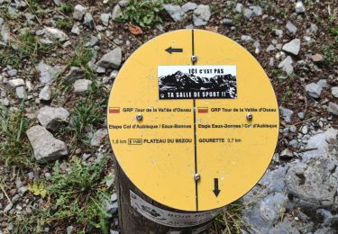
La station de Ski. Vraiment un très raid dans les Pyrénées.
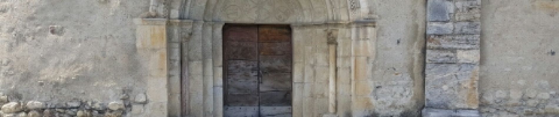
 Aucun - Photo 1")
 Aucun - Photo 2")
 Aucun - Photo 3")
 Aucun - Photo 4")
 Aucun - Photo 5")
 Aucun - Photo 6")
 Aucun - Photo 7")
 Aucun - Photo 8")
 Aucun - Photo 9")
 Aucun - Photo 10")
 Aucun - Photo 11")
 Aucun - Photo 12")
 Aucun - Photo 13")

Te voet

Stappen

Lopen


sport

Te voet

Te voet

Te voet

Stappen
Stappen