

Le Piémont du Mont Sainte-Odile

VacheKiri67
Gebruiker

Lengte
21 km

Max. hoogte
366 m

Positief hoogteverschil
406 m

Km-Effort
26 km

Min. hoogte
179 m

Negatief hoogteverschil
407 m
Boucle
Ja
Datum van aanmaak :
2017-04-30 00:00:00.0
Laatste wijziging :
2017-04-30 00:00:00.0
5h35
Moeilijkheid : Moeilijk

Gratisgps-wandelapplicatie
Over ons
Tocht Stappen van 21 km beschikbaar op Grand Est, Bas-Rhin, Obernai. Deze tocht wordt voorgesteld door VacheKiri67.
Beschrijving
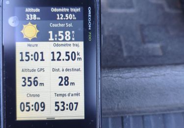
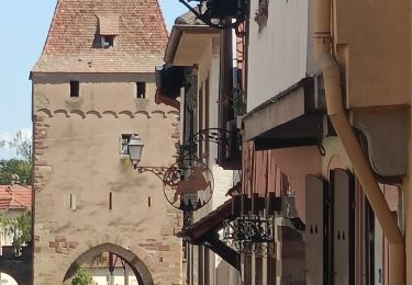
Faite le 30/04/2017 avec notre fils Théo de 12 ans. D'après "Passion Vosges - Autour du Mont Sainte-Odile" N°12 : Le Piémont du Mont Sainte-Odile. Durée indiquée pour le circuit : 5h30.
Plaatsbepaling
Land:
France
Regio :
Grand Est
Departement/Provincie :
Bas-Rhin
Gemeente :
Obernai
Locatie:
Unknown
Vertrek:(Dec)
Vertrek:(UTM)
388246 ; 5368713 (32U) N.
Opmerkingen
Wandeltochten in de omgeving
Le Mont Sainte-Odile depuis Otrott


Stappen
Medium
(1)
Ottrott,
Grand Est,
Bas-Rhin,
France

13 km | 20 km-effort
6h 18min
Ja
Obernai gare - Mont St Odile


Stappen
Moeilijk
(2)
Obernai,
Grand Est,
Bas-Rhin,
France

20 km | 29 km-effort
5h 0min
Ja
Sainte-Odile East-Face


Mountainbike
Moeilijk
(1)
Ottrott,
Grand Est,
Bas-Rhin,
France

24 km | 39 km-effort
3h 0min
Ja
Circuit du Vignoble


Te voet
Gemakkelijk
Rosheim,
Grand Est,
Bas-Rhin,
France

8,8 km | 11,7 km-effort
2h 38min
Ja

Circuit des Balcons


Te voet
Gemakkelijk
(1)
Bischoffsheim,
Grand Est,
Bas-Rhin,
France

12,4 km | 15,4 km-effort
3h 30min
Ja

schnacker tour le grand 8 circuit magique


Mountainbike
Moeilijk
(1)
Rosheim,
Grand Est,
Bas-Rhin,
France

29 km | 39 km-effort
2h 30min
Ja

2015-05-17 Marche Gourmande Rosenwiller


Stappen
Gemakkelijk
(1)
Rosenwiller,
Grand Est,
Bas-Rhin,
France

8,8 km | 11 km-effort
2h 23min
Neen
circuit anciennes abbayes


Stappen
Medium
(1)
Saint-Nabor,
Grand Est,
Bas-Rhin,
France

35 km | 43 km-effort
5h 12min
Neen
Rosheim Grendelbruch


Elektrische fiets
Medium
Rosheim,
Grand Est,
Bas-Rhin,
France

49 km | 59 km-effort
3h 13min
Ja


 SityTrail


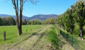


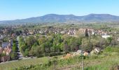
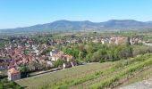
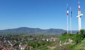
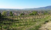


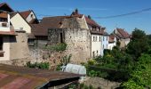

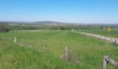


Randonnée assez longue mais sans difficulté. Idéale au printemps pour se refaire les jambes.