


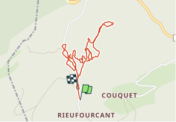


12,9 km | 21 km-effort

Gebruiker


Gratisgps-wandelapplicatie
 SityTrail
IGN / Geografische instituten
SityTrail World
De wereld gaat voor u open
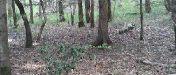
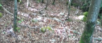
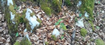
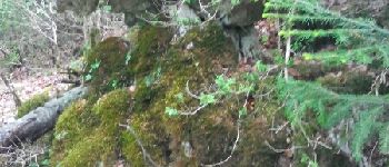
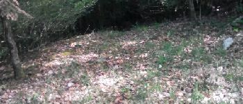
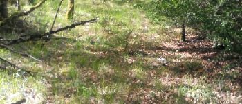
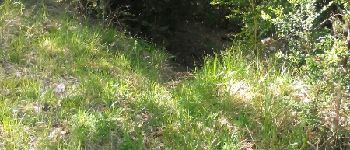
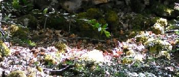
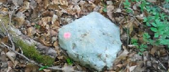
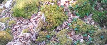
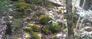
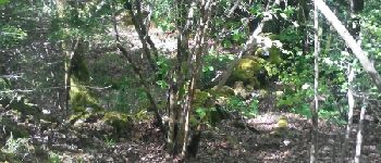
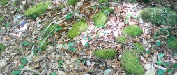
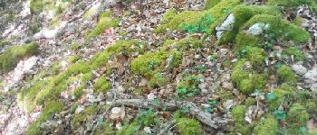
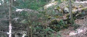
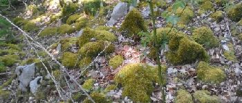
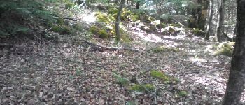
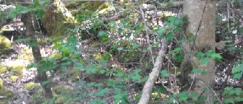
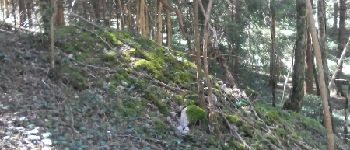
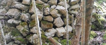
Tocht Andere activiteiten van 2,8 km beschikbaar op Occitanië, Ariège, Bélesta. Deze tocht wordt voorgesteld door jl-torrecillas.


Stappen
Stappen
Andere activiteiten
Andere activiteiten
Andere activiteiten
Andere activiteiten
Andere activiteiten
Stappen
Stappen