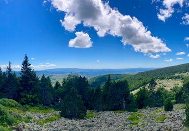
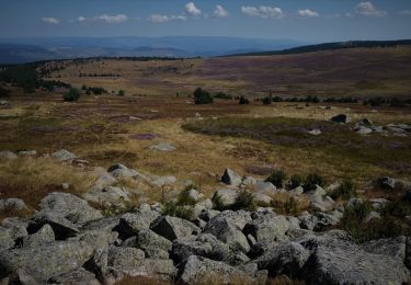
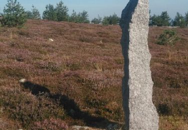
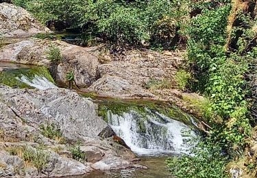
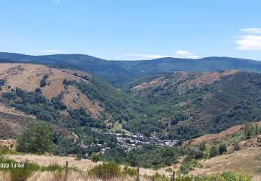
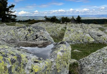
Tocht Stappen Cubières - Stevenson 7A - Photo
 Jean-MarieFaux
Jean-MarieFaux

Gebruiker

© OpenStreetMap contributors
Lengte
Lengte
14,4 km
Max. hoogte
Max. hoogte
1699 m
Positief hoogteverschil
300 m
Km-Effort
Km-Effort  
20 km
Min. hoogte
Min. hoogte
890 m
Negatief hoogteverschil
819 m
Boucle
Boucle
Neen
Datum van aanmaak :
2017-04-22 00:00:00.0
Laatste wijziging :
2017-04-22 00:00:00.0

(0 Bericht)

Stappen
Stappen
3h58
Moeilijkheid : Medium

Scan deze QR-code om de tocht te openen in de SityTrail-applicatie

Gratisgps-wandelapplicatie

Logo SityTrail SityTrail

IGN / Geografische instituten

SityTrail uit de App Store downloaden SityTrail uit Google Play downloaden

Logo SityTrail SityTrail World

De wereld gaat voor u open

SityTrail uit de App Store downloaden SityTrail uit Google Play downloaden SityTrail op Huawei AppGallery downloaden

Over ons

Tocht Stappen van 14,4 km beschikbaar op Occitanië, Lozère, Cubières. Deze tocht wordt voorgesteld door Jean-MarieFaux.

Beschrijving

Mont Lozere  - Pont de Montvert

Hoogteprofiel

Plaatsbepaling

Land:
France
Regio :
Occitanië
Departement/Provincie :
Lozère
Gemeente :
Cubières
Locatie:
Unknown
Vertrek:(Dec)
Vertrek:(UTM)
559519 ; 4922335 (31T) N.

Wandeltochten in de omgeving

Tocht Mountainbike Cubières - TOUR MONT LOZERE - Photo
Mountainbike
asclier0

Mountainbike

Zeer moeilijk
(1)
Cubières, Occitanië, Lozère, France
38 km | 47 km-effort
3h 14min
Ja
Tocht Stappen Mont Lozère et Goulet - Les prairies du col de Finiels et des monts Lozere - Photo
Stappen
GUIDE
Charles Lemaire

Stappen

Medium
(1)
Mont Lozère et Goulet, Occitanië, Lozère, France
7,2 km | 9,5 km-effort
2h 59min
Ja
Tocht Stappen Mont Lozère et Goulet - Bleymar _ Le Pont Montvert - Photo
Stappen
MoulinPierrick

Stappen

Moeilijk
(1)
Mont Lozère et Goulet, Occitanië, Lozère, France
22 km | 32 km-effort
5h 19min
Neen
Tocht Stappen Mont Lozère et Goulet - Chemin de Stevenson - Le Bleymard vers Le Pont de Montvert - Photo
Stappen
tracegps

Stappen

Moeilijk
(1)
Mont Lozère et Goulet, Occitanië, Lozère, France
18,9 km | 28 km-effort
4h 30min
Neen
Tocht Stappen Mont Lozère et Goulet - Stevenson étape 8 - Photo
Stappen
GUIDE
nadinebondoux

Stappen

Moeilijk
Mont Lozère et Goulet, Occitanië, Lozère, France
20 km | 30 km-effort
5h 29min
Neen
Tocht Stappen Mont Lozère et Goulet - Le Bleymard_La Crouzette par le chemin Stevenson_10,5Km - Photo
Stappen
Pousscailleux

Stappen

Moeilijk
(1)
Mont Lozère et Goulet, Occitanië, Lozère, France
10,6 km | 14,4 km-effort
3h 2min
Ja
Tocht Stappen Mont Lozère et Goulet - sources du tarn - Photo
Stappen
olivier78000

Stappen

Medium
(1)
Mont Lozère et Goulet, Occitanië, Lozère, France
13,3 km | 17,3 km-effort
3h 50min
Neen
Tocht Stappen Mont Lozère et Goulet - Etape 6 le Bleymard  / Pont Montvert - Photo
Stappen
Nathalie. Mercier

Stappen

Moeilijk
Mont Lozère et Goulet, Occitanië, Lozère, France
20 km | 29 km-effort
5h 31min
Neen
Tocht Elektrische fiets Cubières - ETANG DE BARANDON PAR LA STATION DE SKI - Photo
Elektrische fiets
asclier0

Elektrische fiets

Medium
Cubières, Occitanië, Lozère, France
31 km | 36 km-effort
2h 11min
Ja


Sluiten
Mijn abonnementen