


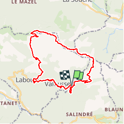

65 km | 93 km-effort

Gebruiker


Gratisgps-wandelapplicatie
 SityTrail
IGN / Geografische instituten
SityTrail World
De wereld gaat voor u open
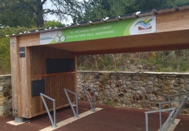
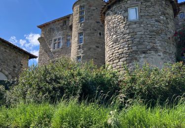
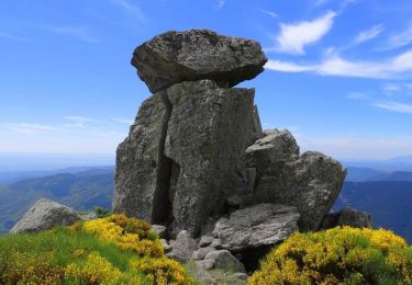
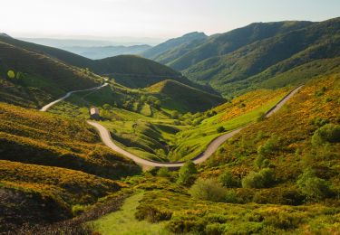
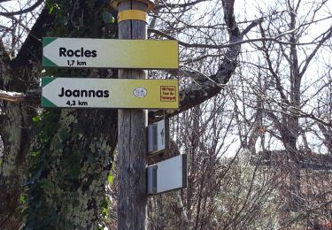
Tocht Te voet van 17,1 km beschikbaar op Auvergne-Rhône-Alpes, Ardèche, Rocles. Deze tocht wordt voorgesteld door silvestreclaudine.
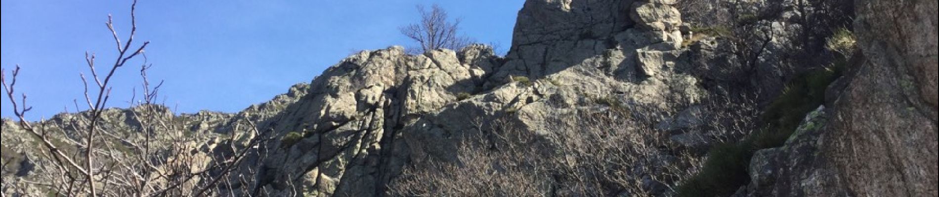
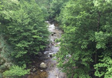
Depart du pont : passage difficile et dangereux dans les rochers ( vertiges s'abstenir) suivre balisage jaune et blanc , rochers balisage vert et blanc puis GR et ensuite jaune et blanc


Mountainbike
Stappen
Wegfiets

sport
Stappen
Stappen
Stappen
Stappen
Stappen