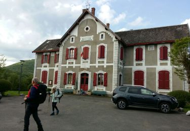
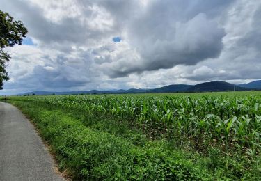
Tocht Stappen Pointis-de-Rivière - 2011-08-21 16h43m14 - Photo
 jloger
jloger

Gebruiker

© OpenStreetMap contributors
Lengte
Lengte
9,4 km
Max. hoogte
Max. hoogte
436 m
Positief hoogteverschil
67 m
Km-Effort
Km-Effort  
10,2 km
Min. hoogte
Min. hoogte
395 m
Negatief hoogteverschil
36 m
Boucle
Boucle
Neen
Datum van aanmaak :
2019-04-17 14:51:49.239
Laatste wijziging :
2019-04-17 14:51:49.294

(0 Bericht)

Stappen
Stappen
--
Moeilijkheid : Gemakkelijk

Scan deze QR-code om de tocht te openen in de SityTrail-applicatie

Gratisgps-wandelapplicatie

Logo SityTrail SityTrail

IGN / Geografische instituten

SityTrail uit de App Store downloaden SityTrail uit Google Play downloaden

Logo SityTrail SityTrail World

De wereld gaat voor u open

SityTrail uit de App Store downloaden SityTrail uit Google Play downloaden SityTrail op Huawei AppGallery downloaden

Over ons

Tocht Stappen van 9,4 km beschikbaar op Occitanië, Haute-Garonne, Pointis-de-Rivière. Deze tocht wordt voorgesteld door jloger.

Hoogteprofiel

Plaatsbepaling

Land:
France
Regio :
Occitanië
Departement/Provincie :
Haute-Garonne
Gemeente :
Pointis-de-Rivière
Locatie:
Unknown
Vertrek:(Dec)
Vertrek:(UTM)
307766 ; 4774341 (31T) N.

Wandeltochten in de omgeving

Tocht Stappen Ardiège - Promenade autour d'Ardiège et de Cier de Rivière - Photo
Stappen
tracegps

Stappen

Gemakkelijk
(1)
Ardiège, Occitanië, Haute-Garonne, France
5 km | 6,4 km-effort
1h 15min
Ja
Tocht Stappen Cier-de-Rivière - CIER DE RIVIERE col de Couret et de l'Aouach  G4  - Photo
Stappen
GUIDE
marmotte65

Stappen

Moeilijk
Cier-de-Rivière, Occitanië, Haute-Garonne, France
10,9 km | 15,1 km-effort
3h 20min
Ja
Tocht Stappen Labarthe-Rivière - Camon - Photo
Stappen
jloger

Stappen

Gemakkelijk
Labarthe-Rivière, Occitanië, Haute-Garonne, France
7,5 km | 8 km-effort
1h 40min
Ja
Tocht Stappen Cier-de-Rivière - Col de Lauach - Cier de Riviére - Photo
Stappen
tracegps

Stappen

Medium
Cier-de-Rivière, Occitanië, Haute-Garonne, France
10,5 km | 14,8 km-effort
3h 0min
Ja
Tocht Wegfiets Villeneuve-de-Rivière - boucle au départ de Villeneuve  de  riviere  - Photo
Wegfiets
martoche

Wegfiets

Medium
Villeneuve-de-Rivière, Occitanië, Haute-Garonne, France
61 km | 71 km-effort
3h 55min
Ja
Tocht Stappen Ardiège - Ardiege, Cap de Rouzet nouveau chemin de parapente avec des gens  - Photo
Stappen
Jeanne Pene

Stappen

Medium
Ardiège, Occitanië, Haute-Garonne, France
6,1 km | 10,6 km-effort
2h 50min
Ja
Tocht Stappen Ardiège - Depart Ardiege cap de la picote ,crete de Huntous,les arrousses plombières 2 le 06 Mars 2024 avec  eve - Photo
Stappen
Jeanne Pene

Stappen

Medium
Ardiège, Occitanië, Haute-Garonne, France
9,1 km | 14,2 km-effort
3h 15min
Ja
Tocht Wegfiets Villeneuve-de-Rivière - boucle dans le Comminges - Photo
Wegfiets
martoche

Wegfiets

Medium
Villeneuve-de-Rivière, Occitanië, Haute-Garonne, France
68 km | 80 km-effort
3h 58min
Neen
Tocht Wegfiets Villeneuve-de-Rivière - boucle commingeoise - Photo
Wegfiets
martoche

Wegfiets

Medium
Villeneuve-de-Rivière, Occitanië, Haute-Garonne, France
61 km | 71 km-effort
3h 9min
Ja


Sluiten
Mijn abonnementen