
22 km | 28 km-effort


Gebruiker


Gratisgps-wandelapplicatie
 SityTrail
IGN / Geografische instituten
SityTrail World
De wereld gaat voor u open
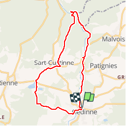
Tocht Stappen van 15,1 km beschikbaar op Wallonië, Namen, Gedinne. Deze tocht wordt voorgesteld door GerardBouche.
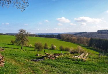
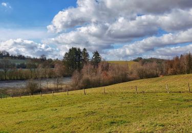
Très beau parcours ombragé le long des méandres de la Houille en direction de Vencimont. Le retour par le village de Sart-Custinne et les étangs de Boiron
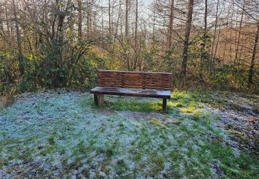
 - Photo 1")
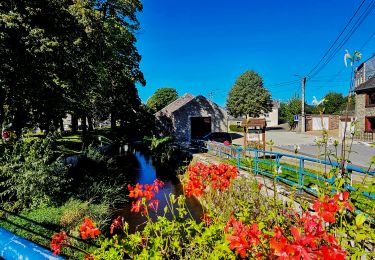
 - Photo 2")
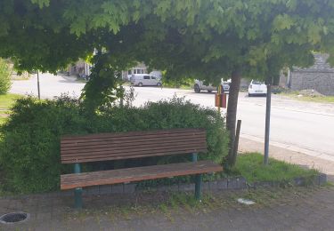
 - Photo 3")
 - Photo 4")
 - Photo 5")

Stappen

Stappen
Stappen
Stappen
Stappen
Stappen
Stappen

Te voet