

VTT GARD 2017 J1

Mariolebeno
Gebruiker

Lengte
41 km

Max. hoogte
361 m

Positief hoogteverschil
811 m

Km-Effort
52 km

Min. hoogte
114 m

Negatief hoogteverschil
849 m
Boucle
Neen
Datum van aanmaak :
2017-05-11 00:00:00.0
Laatste wijziging :
2017-05-11 00:00:00.0
3h18
Moeilijkheid : Zeer moeilijk

Gratisgps-wandelapplicatie
Over ons
Tocht Mountainbike van 41 km beschikbaar op Occitanië, Gard, Rivières. Deze tocht wordt voorgesteld door Mariolebeno.
Beschrijving
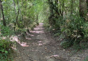
attention portion de portage un peu acrobatique du genre câble à main gauche et vélo sur l'épaule droite ...
A part ça,un circuit magnifique
Plaatsbepaling
Land:
France
Regio :
Occitanië
Departement/Provincie :
Gard
Gemeente :
Rivières
Locatie:
Unknown
Vertrek:(Dec)
Vertrek:(UTM)
603700 ; 4896268 (31T) N.
Opmerkingen
Wandeltochten in de omgeving
Les Aiguiéres au départ de Call


Stappen
Moeilijk
(1)
Navacelles,
Occitanië,
Gard,
France

10,4 km | 14,9 km-effort
4h 39min
Ja
château d allègre aiguieres


Stappen
Medium
(1)
Allègre-les-Fumades,
Occitanië,
Gard,
France

16,9 km | 25 km-effort
6h 10min
Ja
Aiguieres par Cal


Stappen
Medium
(2)
Navacelles,
Occitanië,
Gard,
France

8,9 km | 12,6 km-effort
2h 20min
Ja
Château d'Allegre / Aiguières


Stappen
Moeilijk
Navacelles,
Occitanië,
Gard,
France

20 km | 29 km-effort
7h 18min
Ja
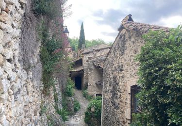
ROCHEGUDE - GROTTE DES CAMISARDS


Stappen
Medium
Rochegude,
Occitanië,
Gard,
France

5 km | 7,6 km-effort
1h 43min
Ja

231203_Rivières


Stappen
Moeilijk
Rivières,
Occitanië,
Gard,
France

15,4 km | 18,9 km-effort
5h 43min
Ja
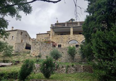
mejannes le clap


Stappen
Medium
Méjannes-le-Clap,
Occitanië,
Gard,
France

14,4 km | 19,3 km-effort
5h 19min
Ja


 SityTrail


