


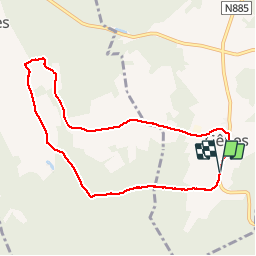

8,8 km | 11,5 km-effort


Gebruiker


Gratisgps-wandelapplicatie
 SityTrail
IGN / Geografische instituten
SityTrail World
De wereld gaat voor u open
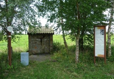
Tocht Stappen van 7,6 km beschikbaar op Wallonië, Luxemburg, Rendeux. Deze tocht wordt voorgesteld door Januitcielle.
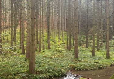
Er zijn vele plassen met veel waterleven, fantastisch! Als het veel geregend heeft is een groot deel van de wegjes in het begin een beek geworden.

Stappen

Stappen
Stappen
Stappen
Te voet
Te voet
Stappen

Stappen
Stappen
eerste 500 m in het bis is het pad kapotgereden door tractors en staat het pad onder water. je kan erlangs lopen.
84.150