


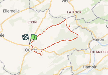


13,9 km | 18,2 km-effort


Gebruiker


Gratisgps-wandelapplicatie
 SityTrail
IGN / Geografische instituten
SityTrail World
De wereld gaat voor u open
Tocht Stappen van 11,5 km beschikbaar op Wallonië, Luik, Ouffet. Deze tocht wordt voorgesteld door henrineupre.
BALISE: triangle rectangle bleu
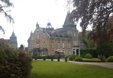
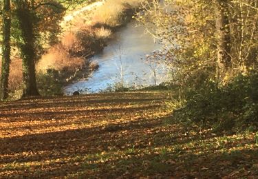
Au départ de la Grand Place d'Ouffet, cette promenade emmène les intéressés sur des routes asphaltées mais aussi sur de beaux petits chemins boisés et de campagne. Le parcours est calme et offre de splendides paysages.

Stappen

Stappen

Te voet

Stappen
Stappen


Stappen
Stappen

Stappen