


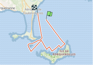

11,9 km | 14,2 km-effort


Gebruiker


Gratisgps-wandelapplicatie
 SityTrail
IGN / Geografische instituten
SityTrail World
De wereld gaat voor u open
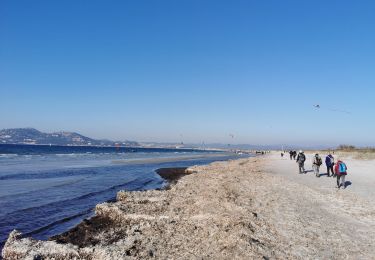
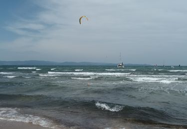
Tocht Zeilboot van 28 km beschikbaar op Provence-Alpes-Côte d'Azur, Var, Hyères. Deze tocht wordt voorgesteld door bernir.
parcours effectué avec un vent de 5 à 6 Beaufort; un régal!
classement moyen en raison d'une surcharge pondérale!
pas de l'équipage...du bateau!

Stappen

Stappen

Stappen
Wegfiets

Stappen
Stappen
Stappen
Stappen
Stappen