


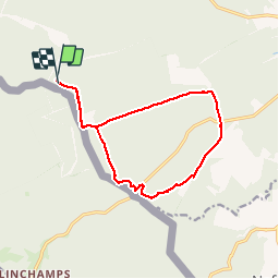

23 km | 30 km-effort

Gebruiker


Gratisgps-wandelapplicatie
 SityTrail
IGN / Geografische instituten
SityTrail World
De wereld gaat voor u open
Tocht Stappen van 12,5 km beschikbaar op Wallonië, Namen, Gedinne. Deze tocht wordt voorgesteld door GerardBouche.
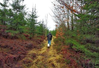
Depuis la "Tour du Millénaire", belle balade forestière par les "Hés des Petits Villages", le "Tienne del Panne" et le "Bois St-Jean jouxtant la forêt domaniale de Château-Regnault française.
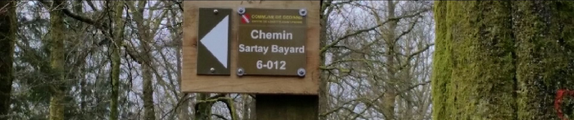
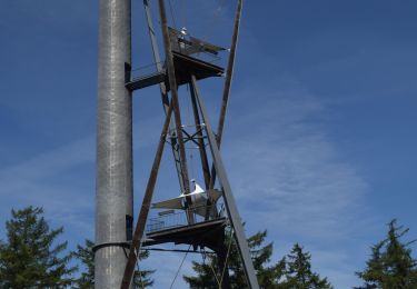
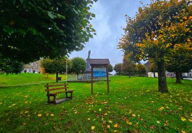
 - Photo 1")
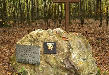
 - Photo 2")
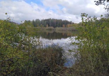
 - Photo 3")
 - Photo 4")
Stappen

Stappen

Stappen

Stappen
Stappen

Te voet
Stappen
Stappen
Stappen