


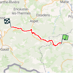

5 km | 9,1 km-effort


Gebruiker


Gratisgps-wandelapplicatie
 SityTrail
IGN / Geografische instituten
SityTrail World
De wereld gaat voor u open
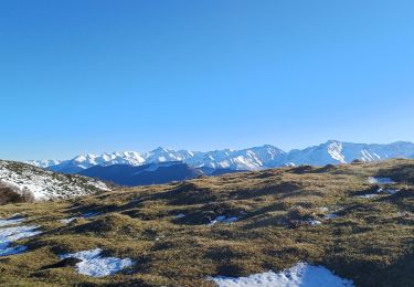
Tocht Stappen van 32 km beschikbaar op Occitanië, Ariège, Orgibet. Deze tocht wordt voorgesteld door patoche2009.
Voir étape 1 Carcassonne - Ville neuve les Montréal
Stappen
Stappen
Stappen

Te voet

Mountainbike

Mountainbike
Mountainbike
Stappen

Stappen