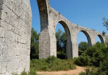
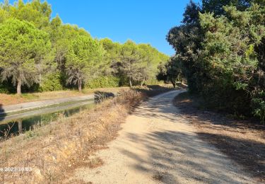
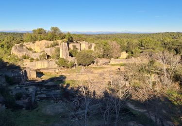
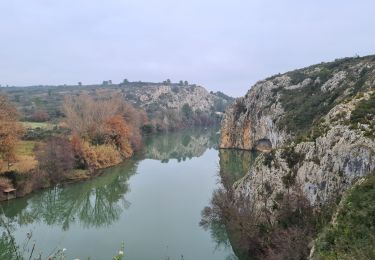
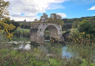
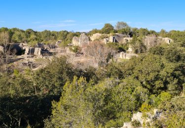
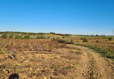
Tocht Paard Gallargues-le-Montueux - X - 2011-07-20 15h44m26 Trace Villa Vicha - Photo

X - 2011-07-20 15h44m26 Trace Villa Vicha

 jp-lay
jp-lay

Gebruiker

© OpenStreetMap contributors
Lengte
Lengte
21 km
Max. hoogte
Max. hoogte
77 m
Positief hoogteverschil
164 m
Km-Effort
Km-Effort  
23 km
Min. hoogte
Min. hoogte
11 m
Negatief hoogteverschil
162 m
Boucle
Boucle
Neen
Datum van aanmaak :
2014-12-10 00:00:00.0
Laatste wijziging :
2014-12-10 00:00:00.0

(0 Bericht)

Paard
Paard
--
Moeilijkheid : Gemakkelijk

Scan deze QR-code om de tocht te openen in de SityTrail-applicatie

Gratisgps-wandelapplicatie

Logo SityTrail SityTrail

IGN / Geografische instituten

SityTrail uit de App Store downloaden SityTrail uit Google Play downloaden

Logo SityTrail SityTrail World

De wereld gaat voor u open

SityTrail uit de App Store downloaden SityTrail uit Google Play downloaden SityTrail op Huawei AppGallery downloaden

Over ons

Tocht Paard van 21 km beschikbaar op Occitanië, Gard, Gallargues-le-Montueux. Deze tocht wordt voorgesteld door jp-lay.

Beschrijving

Une balade qui nous amène à l'heure du déjeuné dans un endroit sympa à Aubais: La Villa Vicha, où nos chevaux et avons été accueillis mieux que bien et où nous nous sommes régalés à table. Une originalité: Il y a un club de... plongé avec une fosse de 30m! A voir, y venir et y revenir!

Hoogteprofiel

Plaatsbepaling

Land:
France
Regio :
Occitanië
Departement/Provincie :
Gard
Gemeente :
Gallargues-le-Montueux
Locatie:
Unknown
Vertrek:(Dec)
Vertrek:(UTM)
593427 ; 4840838 (31T) N.

Wandeltochten in de omgeving

Tocht Mountainbike Villetelle - Grande Traversée de l'Hérault à VTT - De Ambrussum à Fondespierre - Photo
Mountainbike
tracegps

Mountainbike

Medium
(2)
Villetelle, Occitanië, Hérault, France
29 km | 33 km-effort
3h 30min
Neen
Tocht Paard Gallargues-le-Montueux - Aujargues - Photo
Paard
N-Letessier

Paard

Gemakkelijk
(1)
Gallargues-le-Montueux, Occitanië, Gard, France
28 km | 32 km-effort
5h 33min
Ja
Tocht Stappen Lunel - lunel_tour_de_farge - Photo
Stappen
v.rabot

Stappen

Medium
Lunel, Occitanië, Hérault, France
13,4 km | 15,4 km-effort
3h 30min
Ja
Tocht Stappen Aubais - Aubais-junas-moulin_de_corbières - Photo
Stappen
v.rabot

Stappen

Medium
Aubais, Occitanië, Gard, France
15,5 km | 18,3 km-effort
5h 0min
Ja
Tocht Stappen Villetelle - villetelle  - Photo
Stappen
v.rabot

Stappen

Gemakkelijk
Villetelle, Occitanië, Hérault, France
6,6 km | 7,9 km-effort
1h 34min
Ja
Tocht Stappen Aubais - moulin-carriere-gallargues - Photo
Stappen
v.rabot

Stappen

Gemakkelijk
Aubais, Occitanië, Gard, France
12,5 km | 14,1 km-effort
2h 30min
Ja
Tocht Stappen Villetelle - Sensei pascal  - Photo
Stappen
rio34740

Stappen

Medium
Villetelle, Occitanië, Hérault, France
17,7 km | 0 m-effort
5h 17min
Ja
Tocht Stappen Aubais - aubais-junas-moulin de corbières - Photo
Stappen
v.rabot

Stappen

Medium
Aubais, Occitanië, Gard, France
16,8 km | 20 km-effort
5h 38min
Ja
Tocht Stappen Lunel - Lunel-Verargues-StChristol et retour  - Photo
Stappen
v.rabot

Stappen

Medium
Lunel, Occitanië, Hérault, France
15,4 km | 17,6 km-effort
2h 54min
Ja


Sluiten
Mijn abonnementen