


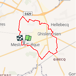

24 km | 26 km-effort


Gebruiker


Gratisgps-wandelapplicatie
 SityTrail
IGN / Geografische instituten
SityTrail World
De wereld gaat voor u open
Tocht Stappen van 12,5 km beschikbaar op Wallonië, Henegouwen, Aat. Deze tocht wordt voorgesteld door fabetfab.
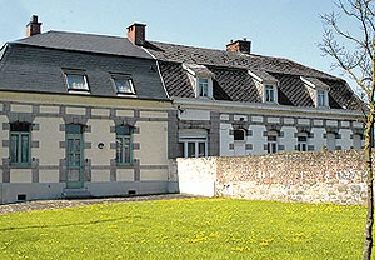
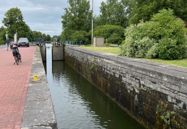
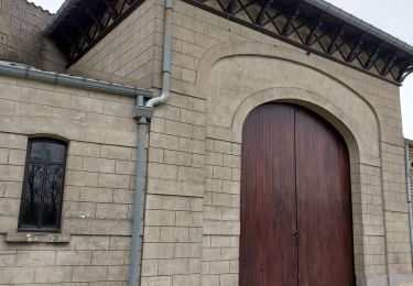
Meslin-Gibecq-Ghislenghien-Meslin. Parcours facile accessible en poussette. Départ de la place de Meslin l'Evêque.Parking aisé.
Stappen
Stappen

Te voet
Te voet

Te voet
Te voet

Stappen
Elektrische fiets
Stappen