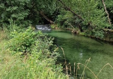
Tocht Stappen Veyrines-de-Domme - Castelnaud - Photo
 Marfee
Marfee

Gebruiker

© OpenStreetMap contributors
Lengte
Lengte
17,8 km
Max. hoogte
Max. hoogte
259 m
Positief hoogteverschil
605 m
Km-Effort
Km-Effort  
26 km
Min. hoogte
Min. hoogte
67 m
Negatief hoogteverschil
604 m
Boucle
Boucle
Ja
Datum van aanmaak :
2017-01-27 00:00:00.0
Laatste wijziging :
2017-01-27 00:00:00.0

(0 Bericht)

Stappen
Stappen
5h00
Moeilijkheid : Medium

Scan deze QR-code om de tocht te openen in de SityTrail-applicatie

Gratisgps-wandelapplicatie

Logo SityTrail SityTrail

IGN / Geografische instituten

SityTrail uit de App Store downloaden SityTrail uit Google Play downloaden

Logo SityTrail SityTrail World

De wereld gaat voor u open

SityTrail uit de App Store downloaden SityTrail uit Google Play downloaden SityTrail op Huawei AppGallery downloaden

Over ons

Tocht Stappen van 17,8 km beschikbaar op Nieuw-Aquitanië, Dordogne, Veyrines-de-Domme. Deze tocht wordt voorgesteld door Marfee.

Beschrijving

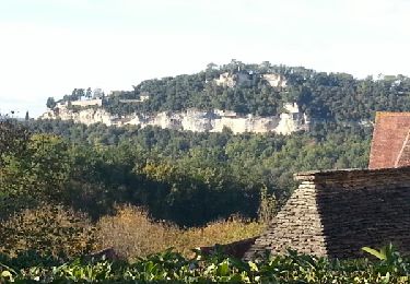
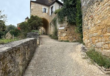
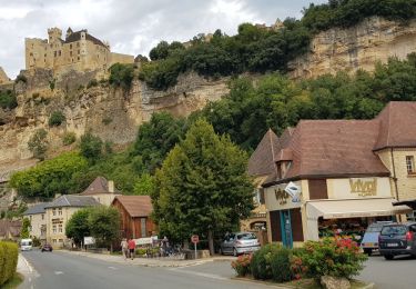
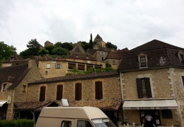
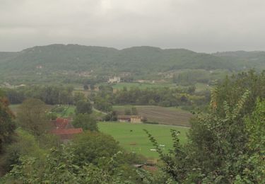
Parcours extrait du livre "Le Périgord à pied". Le point de départ a été décalé pour fixer une halte déjeuner à Castelnaud. Très belle balade dans sa première partie jusqu'à Castelnaud. Le retour est beaucoup moins plaisant ; succession de longues lignes droites bitumées jusqu'à Veyrines de Domme. Pas de difficultés majeures sinon 2 raidillons ; le premier en quittant Veyrines de Domme et le second dans les 700 derniers mètres.

Hoogteprofiel

Plaatsbepaling

Land:
France
Regio :
Nieuw-Aquitanië
Departement/Provincie :
Dordogne
Gemeente :
Veyrines-de-Domme
Locatie:
Unknown
Vertrek:(Dec)
Vertrek:(UTM)
349862 ; 4964031 (31T) N.

Wandeltochten in de omgeving

Tocht Stappen Castelnaud-la-Chapelle - Castelnaud 14,5km - Photo
Stappen
amelie14

Stappen

Medium
(1)
Castelnaud-la-Chapelle, Nieuw-Aquitanië, Dordogne, France
14,3 km | 18,3 km-effort
3h 41min
Ja
Tocht Stappen Castelnaud-la-Chapelle - Périgord j2 Castelnaud - Photo
Stappen
jpbonnemains

Stappen

Gemakkelijk
Castelnaud-la-Chapelle, Nieuw-Aquitanië, Dordogne, France
17,1 km | 24 km-effort
4h 38min
Neen
Tocht Stappen Vézac - Boucle Beynac- La Roque Gageac - Photo
Stappen
RayFab

Stappen

Medium
Vézac, Nieuw-Aquitanië, Dordogne, France
16,3 km | 22 km-effort
4h 20min
Ja
Tocht Lopen Castels et Bézenac - camping gcu, st cyprien, castels - Photo
Lopen
francislassauce

Lopen

Gemakkelijk
Castels et Bézenac, Nieuw-Aquitanië, Dordogne, France
7,7 km | 9,1 km-effort
56min
Ja
Tocht Wegfiets Castels et Bézenac - castels, sarlat, vallée de la dordogne  - Photo
Wegfiets
francislassauce

Wegfiets

Medium
Castels et Bézenac, Nieuw-Aquitanië, Dordogne, France
59 km | 71 km-effort
2h 28min
Neen
Tocht Stappen Beynac-et-Cazenac - Perigor Beynac - Photo
Stappen
GUIDE
Orcal37

Stappen

Medium
Beynac-et-Cazenac, Nieuw-Aquitanië, Dordogne, France
16,3 km | 22 km-effort
4h 5min
Ja
Tocht Motor Vézac - Jardin du château de Marquesac - Photo
Motor
ohubau

Motor

Zeer moeilijk
Vézac, Nieuw-Aquitanië, Dordogne, France
5,3 km | 6,8 km-effort
4h 19min
Ja
Tocht Stappen Castelnaud-la-Chapelle - Balade autour de Castelnaud la Chapelle - Photo
Stappen
tracegps

Stappen

Medium
Castelnaud-la-Chapelle, Nieuw-Aquitanië, Dordogne, France
13,5 km | 19 km-effort
3h 30min
Ja
Tocht Hybride fiets Castelnaud-la-Chapelle - Castelnaud à l'abbaye Nouvelle et retour (Dordogne) - Photo
Hybride fiets
tbrunet

Hybride fiets

Zeer moeilijk
Castelnaud-la-Chapelle, Nieuw-Aquitanië, Dordogne, France
53 km | 62 km-effort
6h 19min
Ja


Sluiten
Mijn abonnementen