


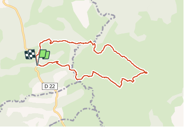

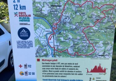
10,8 km | 18,5 km-effort


Gebruiker


Gratisgps-wandelapplicatie
 SityTrail
IGN / Geografische instituten
SityTrail World
De wereld gaat voor u open
Tocht Stappen van 8,9 km beschikbaar op Nieuw-Aquitanië, Pyrénées-Atlantiques, Jatxou. Deze tocht wordt voorgesteld door DECHAMPD.
Landes entre Jatxou Hasparren
vous parcourrez les landes pastorales de Jatxou et d'Hasparren puis, vous découvrirez le vallon d'Angeluko.
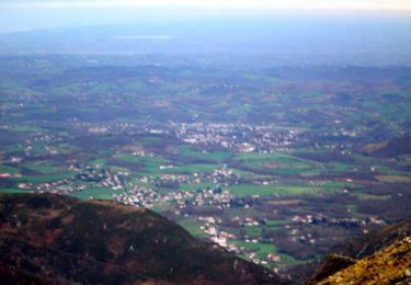
Des paysages de coteaux et de vallons typiques des piémonts pyrénéens.
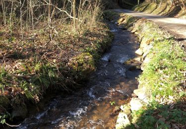
Attention certains passages cours d'eau peuvent être délicats par temps
Stappen

Stappen
Stappen
Stappen
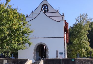
Stappen

Stappen

Stappen
Stappen

Stappen