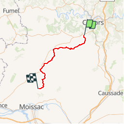


62 km | 81 km-effort


Gebruiker


Gratisgps-wandelapplicatie
 SityTrail
IGN / Geografische instituten
SityTrail World
De wereld gaat voor u open
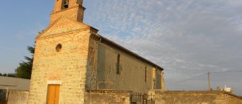
Tocht Stappen van 51 km beschikbaar op Occitanië, Lot, Labastide-Marnhac. Deze tocht wordt voorgesteld door Ardeiserois.
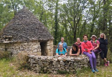
Huitième étape : La Bastide Marnhac (Saint Remy) / Saint Martin de Durfort mercredi 30 septembre 2009.
Départ :8h10
Arrivée :18h50


Mountainbike

Mountainbike

Stappen
Mountainbike
Stappen
Stappen
Stappen

Stappen