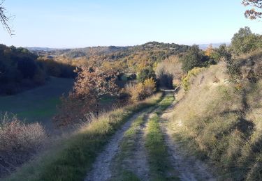
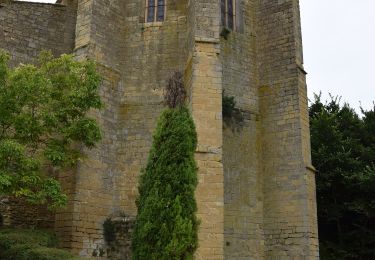
16,9 km | 21 km-effort
GR7 E30 Fangeaux-Mirepoix
richard21220
Gebruiker
Lengte
26 km
Max. hoogte
454 m
Positief hoogteverschil
554 m
Km-Effort
33 km
Min. hoogte
292 m
Negatief hoogteverschil
605 m
Boucle
Neen
Datum van aanmaak :
2017-03-10 00:00:00.0
Laatste wijziging :
2017-03-10 00:00:00.0
7h02
Moeilijkheid : Gemakkelijk
Gratisgps-wandelapplicatie
Over ons
Tocht Stappen van 26 km beschikbaar op Occitanië, Aude, Fanjeaux. Deze tocht wordt voorgesteld door richard21220.
Beschrijving
Hôtels à 09500 MIREPOIX Tél OT 05 61 68 83 76
Chambres d'Hôtes : Larché 09500 MIREPOIX Tél 06 77 39 84 23
Plaatsbepaling
Land:
France
Regio :
Occitanië
Departement/Provincie :
Aude
Gemeente :
Fanjeaux
Locatie:
Unknown
Vertrek:(Dec)
Vertrek:(UTM)
421566 ; 4782054 (31T) N.
Opmerkingen
Wandeltochten in de omgeving
Lasserre de prouilhe 17 kms
Stappen
Medium
(1)
Lasserre-de-Prouille,
Occitanië,
Aude,
France
4h 25min
Ja
Fanjeaux la hilhe
Stappen
Moeilijk
(1)
Fanjeaux,
Occitanië,
Aude,
France
9,7 km | 13,2 km-effort
3h 0min
Neen
La grande boucle des paysages Villasavary
Stappen
Zeer moeilijk
(1)
Villasavary,
Occitanië,
Aude,
France
14,5 km | 19,5 km-effort
4h 26min
Ja
circuit 3 villasavary
Mountainbike
Medium
(1)
Villasavary,
Occitanië,
Aude,
France
23 km | 30 km-effort
1h 43min
Ja
Laurac Fanjeaux
Stappen
Zeer moeilijk
(1)
Laurac,
Occitanië,
Aude,
France
27 km | 37 km-effort
6h 30min
Ja
Tour Montcarrière depuis Monplaisir
Stappen
Medium
Villasavary,
Occitanië,
Aude,
France
4,6 km | 6,5 km-effort
1h 28min
Ja
Fanjeaux Boucle de la Hille
Stappen
Medium
Fanjeaux,
Occitanië,
Aude,
France
13,1 km | 18,3 km-effort
3h 30min
Ja
À travers Champs et Vignes
Te voet
Medium
Ferran,
Occitanië,
Aude,
France
17,2 km | 21 km-effort
4h 49min
Ja
Chemin du Piémont Pyrénéen - de Fanjeaux à Mirepoix
Stappen
Moeilijk
(1)
Fanjeaux,
Occitanië,
Aude,
France
26 km | 33 km-effort
6h 0min
Neen