


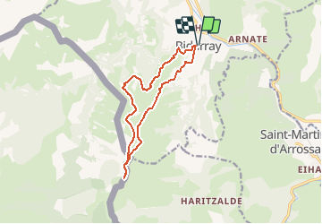

14,5 km | 26 km-effort


Gebruiker


Gratisgps-wandelapplicatie
 SityTrail
IGN / Geografische instituten
SityTrail World
De wereld gaat voor u open
Tocht Sneeuwschoenen van 13 km beschikbaar op Nieuw-Aquitanië, Pyrénées-Atlantiques, Bidarray. Deze tocht wordt voorgesteld door DECHAMPD.
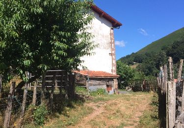
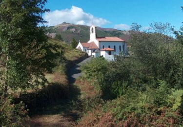
Départ depuis le parking devant la mairie de Bidarray (Pyrénées-Atlantiques 64)
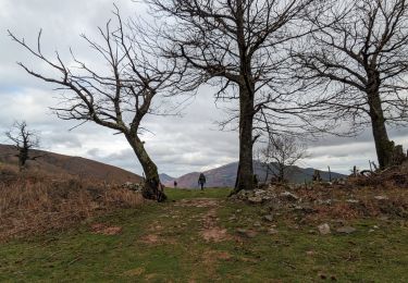
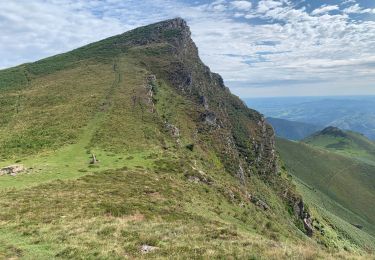
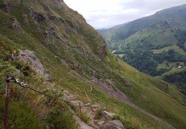
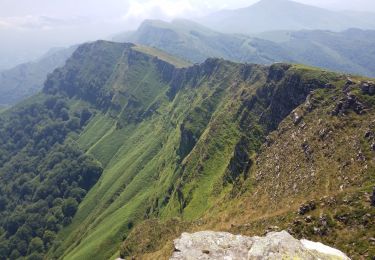
Jolis paysages de l'Artzamendi, Mondarrain,
Rhune et de toute la vallée.
Attention le paysage se mérite, ça grimpe
Randogps Circuit de randonnée 301
Stappen
Stappen
Stappen
Stappen

Stappen
Stappen
Stappen
Stappen
Stappen