


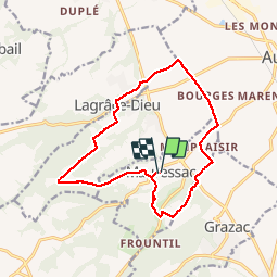


15 km | 18,1 km-effort

Gebruiker


Gratisgps-wandelapplicatie
 SityTrail
IGN / Geografische instituten
SityTrail World
De wereld gaat voor u open
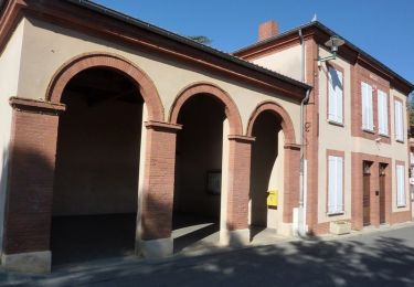
Tocht Stappen van 15,4 km beschikbaar op Occitanië, Haute-Garonne, Mauressac. Deze tocht wordt voorgesteld door pidjam.
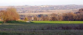
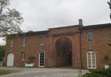
Une balade assez bien balisée dans la campagne autour du clocher de Puydaniel. De la forêt, du coteau, un passage en plaine puis de nouveau des coteaux.


Stappen
Stappen

Stappen
Stappen
Stappen
Stappen
Stappen
Stappen
Stappen