


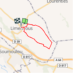

4,9 km | 5,3 km-effort


Gebruiker GUIDE


Gratisgps-wandelapplicatie
 SityTrail
IGN / Geografische instituten
SityTrail World
De wereld gaat voor u open
Tocht Stappen van 4,4 km beschikbaar op Nieuw-Aquitanië, Pyrénées-Atlantiques, Limendous. Deze tocht wordt voorgesteld door LouisROGER.
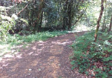
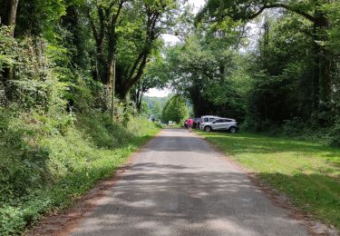
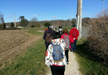
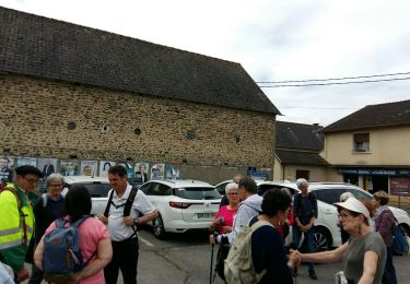
Petite boucle passant près de la source du Luy de France où l'on peut aller entre les maïs cachée par les ronces!!


sport
Noords wandelen

Stappen
Stappen
Stappen
Te voet
Stappen
Mountainbike
Stappen