


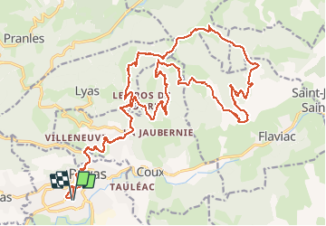

19,1 km | 29 km-effort


Gebruiker


Gratisgps-wandelapplicatie
 SityTrail
IGN / Geografische instituten
SityTrail World
De wereld gaat voor u open
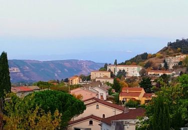
Tocht Mountainbike van 32 km beschikbaar op Auvergne-Rhône-Alpes, Ardèche, Privas. Deze tocht wordt voorgesteld door raphnou.
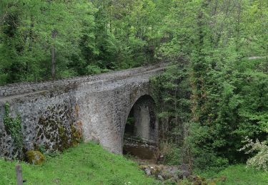
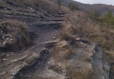
Départ parking du Lycée de Privas. Parcours typique d'Ardèche avec de la caillasses. Descentes techniques, montées raides, du vtt quoi...

Stappen

Stappen

Stappen

Stappen
Stappen

Stappen
Stappen
Stappen
Stappen